Urban Park Rendering From Drone Height to Bench Level
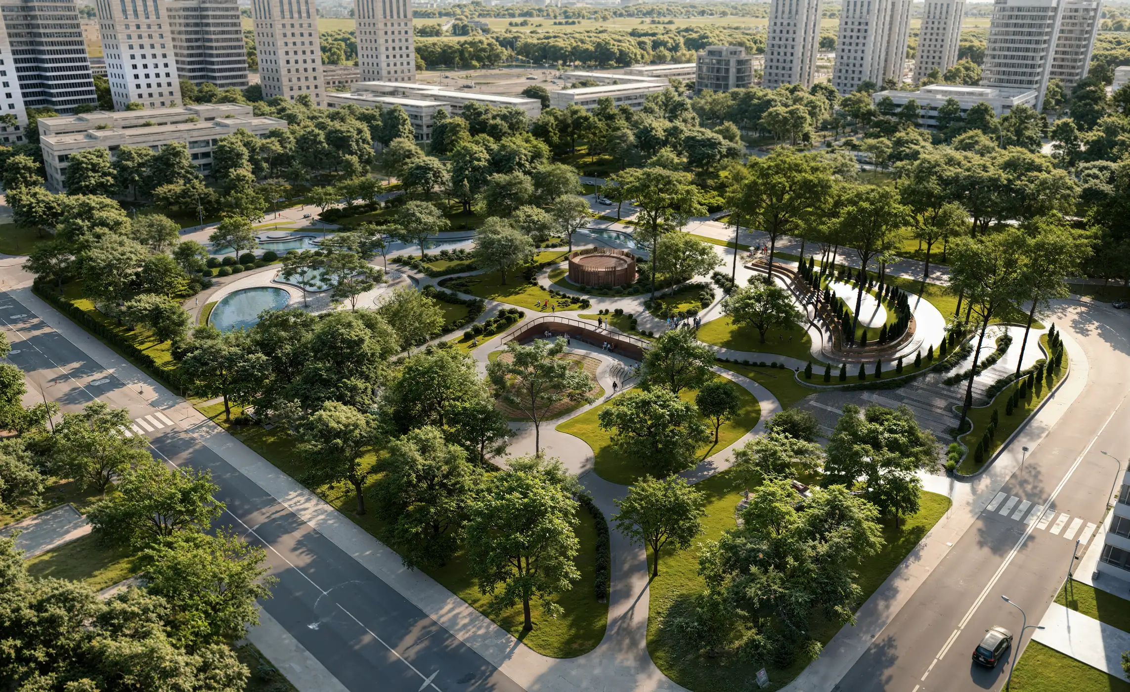
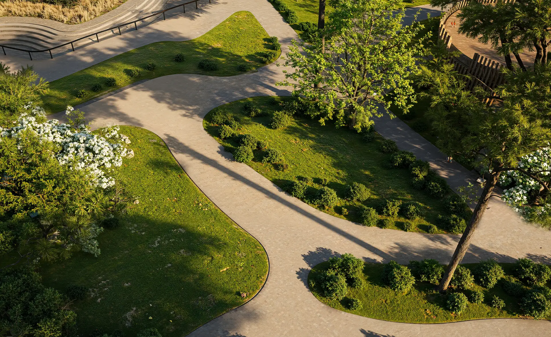
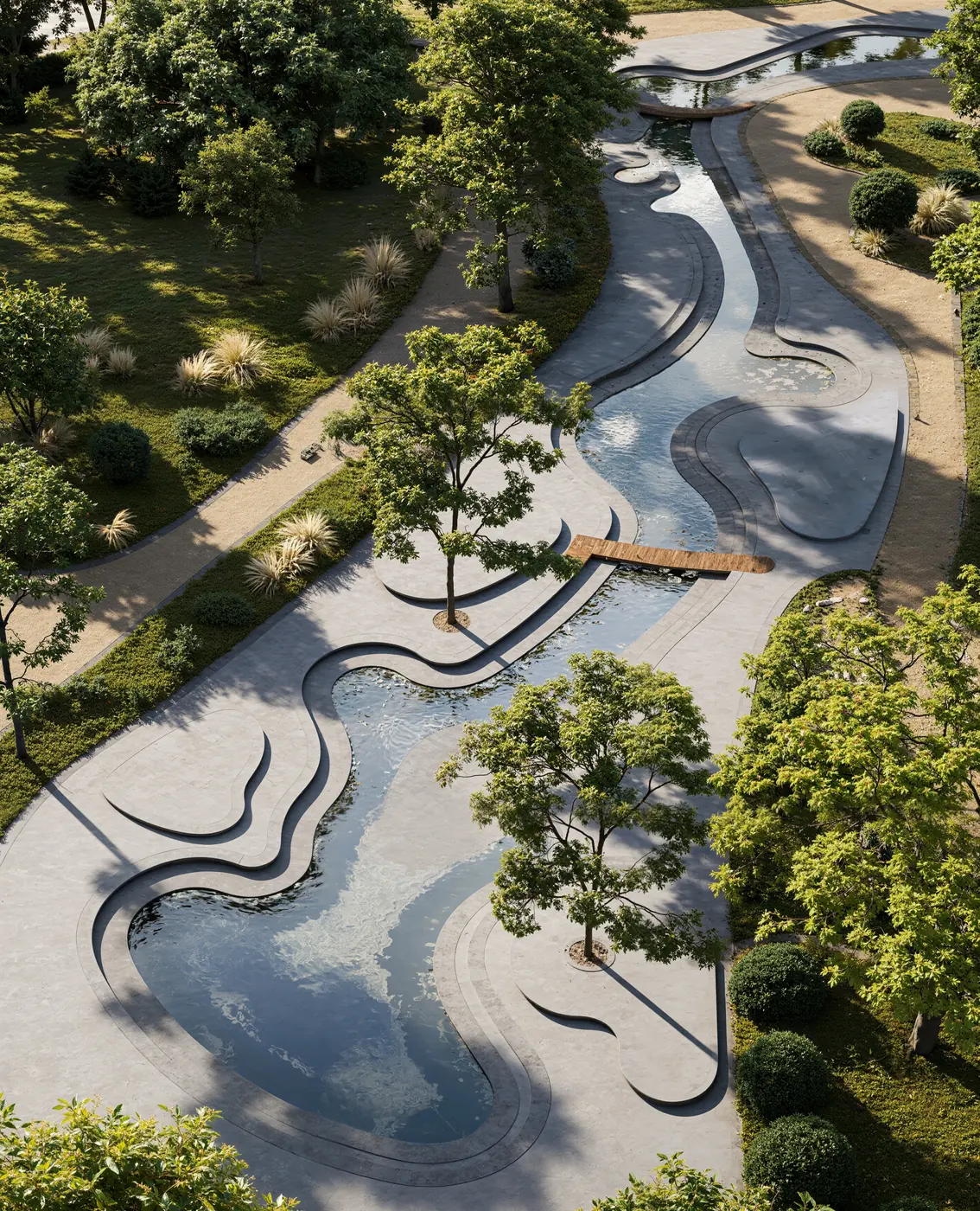
A construction company that builds parks and public landscaping won a city contract for a new urban park between residential towers. The design had to be approved by the city before construction, so we rendered the park in fourteen views, from drone aerials to eye-level frames.
Client & Market Context
A Landscaping Contractor Getting a City Park Approved
Our client is a construction company that builds parks, public spaces and landscaping for residential districts. The city commissioned it to landscape a new park between residential towers, and before work could start on site the design had to be approved by the city. For that approval the contractor needed an urban park rendering set that would show the finished park clearly to officials who do not read landscape plans.
Making a Public Park Readable for People Who Do Not Read Plans
The main challenge of any public park visualization is the audience. A park plan is clear to a landscape architect and abstract to almost everyone else who has a say: city officials who sign off the design, council members and residents. The images had to answer their questions in order.
Visual Results
The Finished Urban Park Image Set
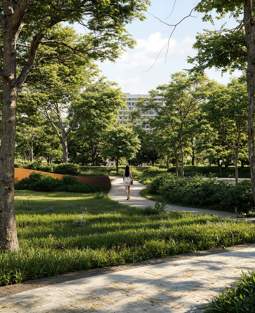
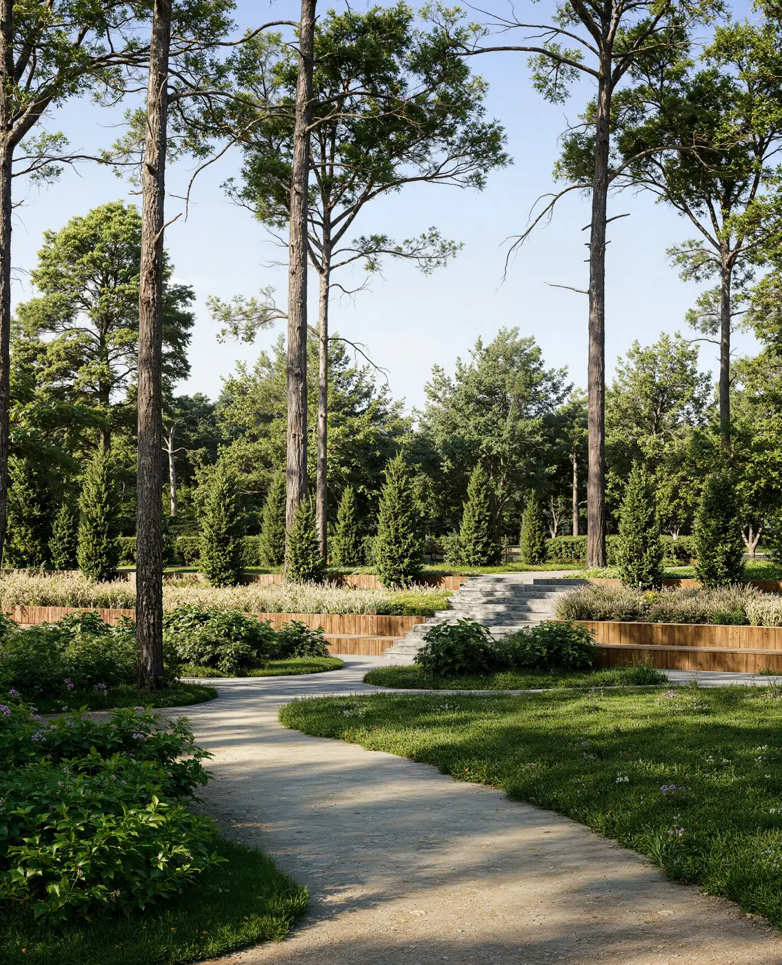
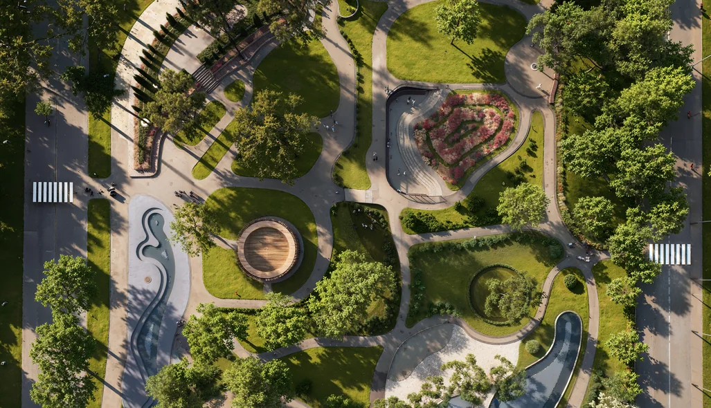
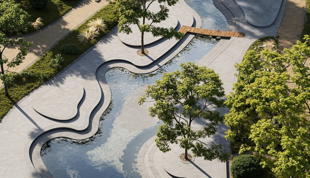
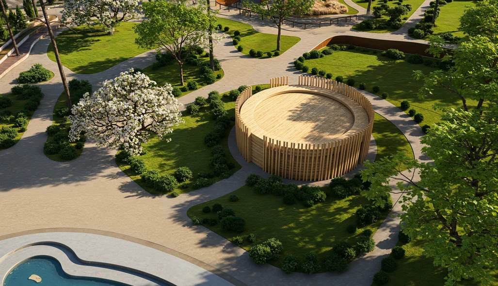
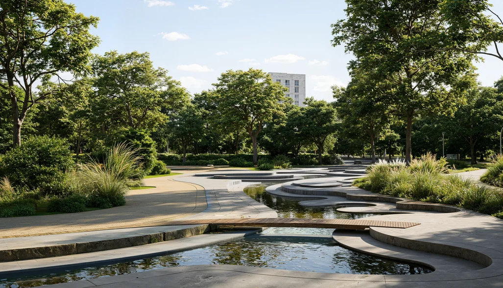
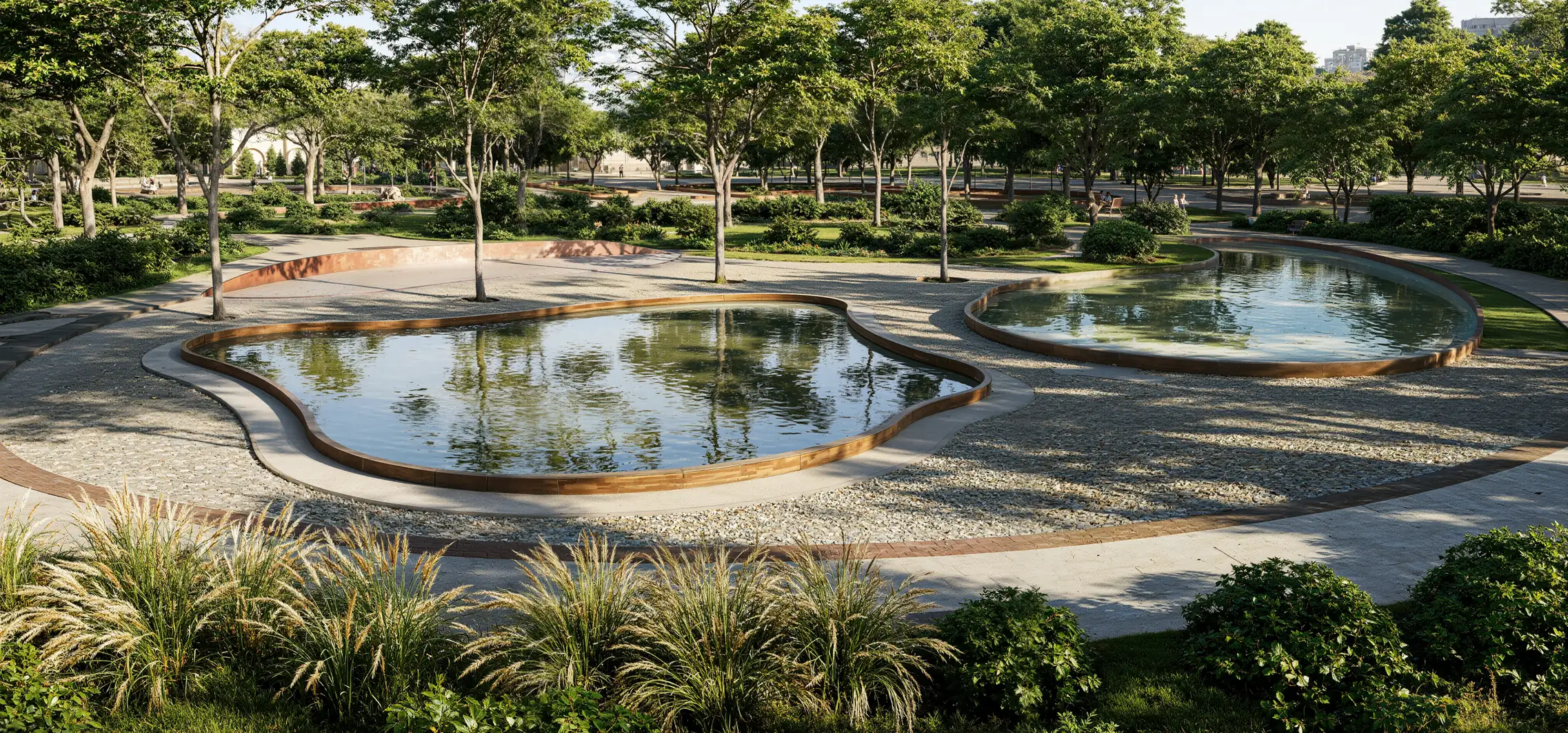
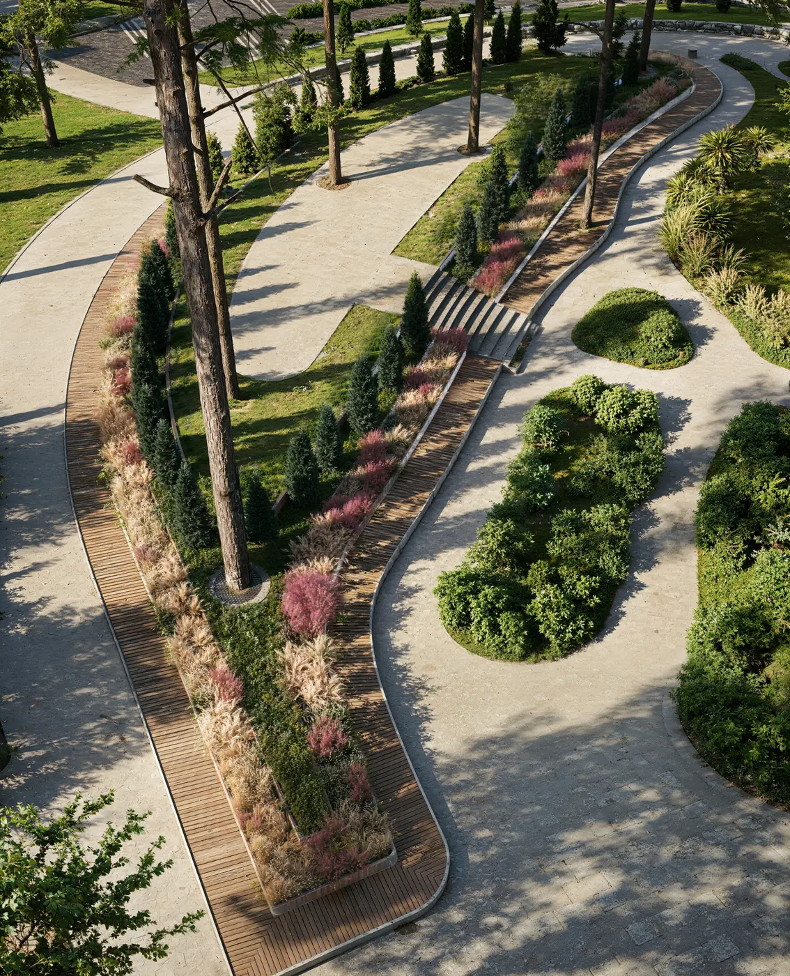
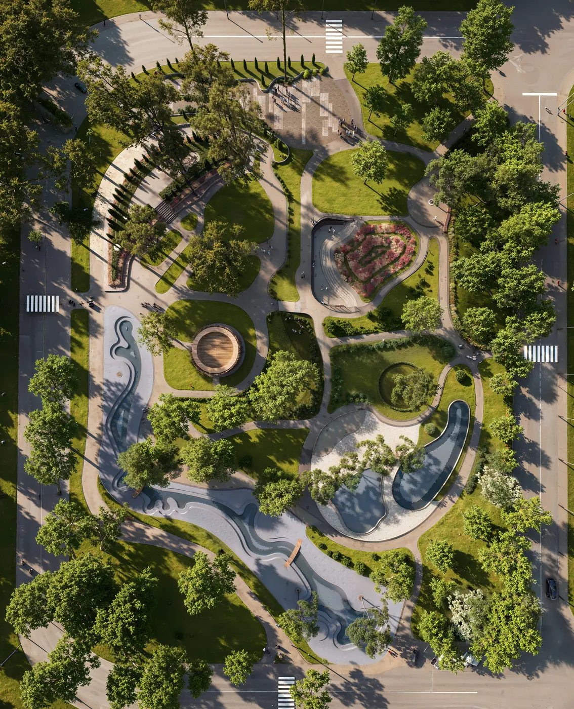
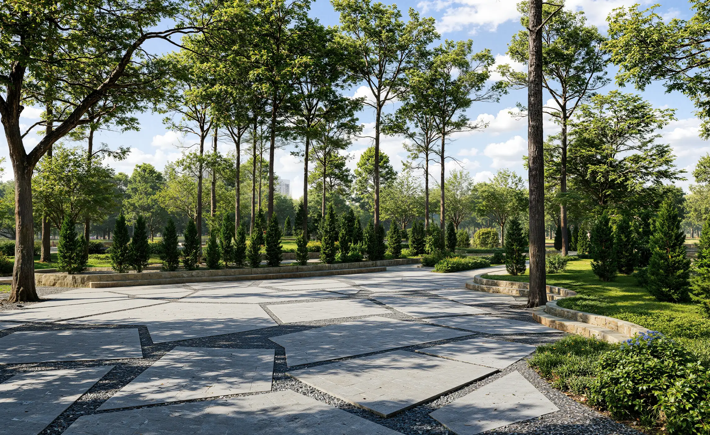
The set moves from the district to the water’s edge: the park between the towers, the plan from above, its main elements in detail and the paths at eye level.
Free guide: off-plan buyers decide on 8 images, developers pay for 22
The frames above are the kind an off-plan buyer decides from, and there are fewer of them than most orders assume. In our priced composite, a developer paid $22,600 for twenty-two images, a film and panoramas, and still missed two of the eight that sell. The guide gives you the eight-image real estate rendering set, staged from launch to construction, and the one-page brief to send instead.
- Free
- Instant download
- No sales call
If it didn't open, download it here.
Download the PDFRemote studio, your time zone
Planning a similar project?
Book a 30-minute call. Send the drawings or a few words about the project, and we will tell you which views it needs, how long it takes and what it costs.
Estimate on the call
A price range and a start date, not a follow-up questionnaire.
Any stage of the project
From concept sketches to a finished model: we start from what you have.
Book a 30-minute call
Which day suits you?
What time?
Where should we send the invite?
- 30 minutes
- Free, no obligation
- Invite by email
Results & Business Impact
- 14
final renders: three aerial views, six elevated detail views and five eye-level frames
- 3views
from above: an oblique drone view, a lower aerial and a top-down plan
- 5
eye-level frames along the visitor route: water, plaza, steps and paths
- 6
park elements shown in detail: water channel, pools, amphitheatre, pavilion, plaza, meadow decks
For a park that exists only as a plan, renders at drone height and at eye level let the contractor and the city agree on the same picture before construction starts.
FAQ
FAQ about this urban park rendering project
Didn’t find your question?
Ask it here. A producer replies within one business day — with an answer, not a sales call.
What is urban park rendering?
Which views does a park rendering project need?
What files are needed to render a park?
Can park renders be used to get city approval?
Why show a park both from the air and at eye level?
Do you render parks and public spaces for clients abroad?
Explore Similar Landscape and Aerial Cases
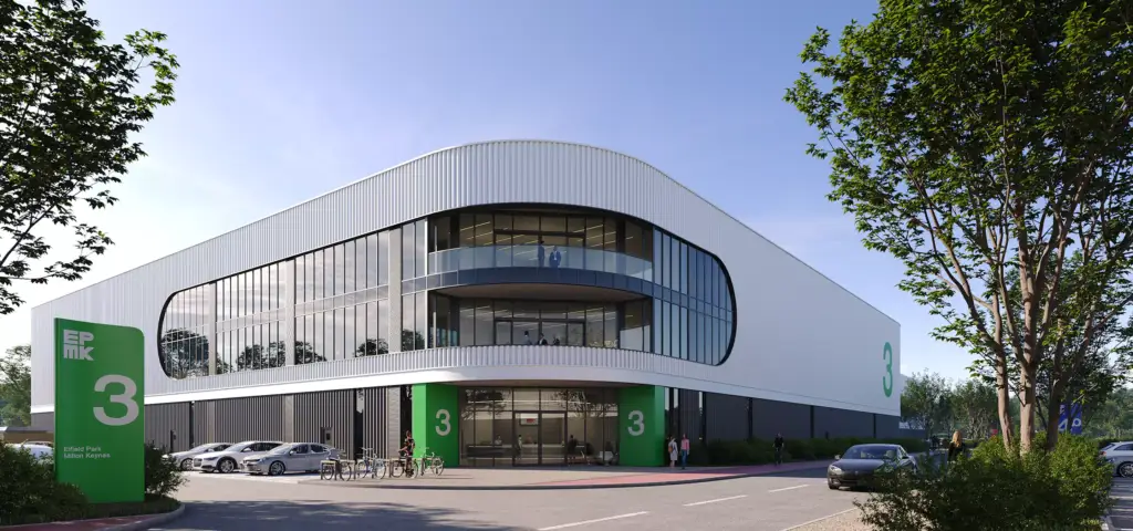
Warehouse 3D Rendering That Elevated a Logistics Complex Launch in Warsaw
Photorealistic warehouse 3D rendering for a modern logistics complex in Warsaw, featuring aerial views, street-level perspectives, and high-end architectural visualization for real estate marketing.
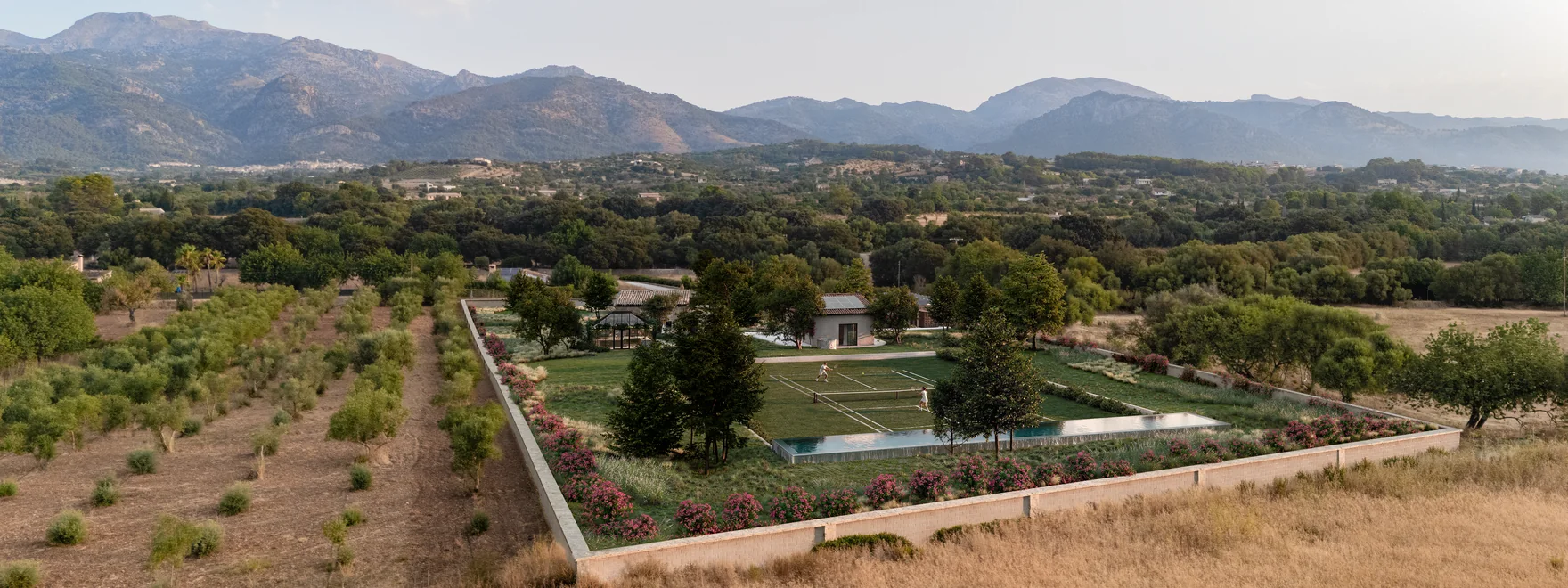
Mallorca Finca Renovation Renders Built Into the Client’s Drone Photography
Case study: six exterior renders of a finca renovation near Selva, Mallorca, built from the architect's Rhino model, with aerials set into drone photos.
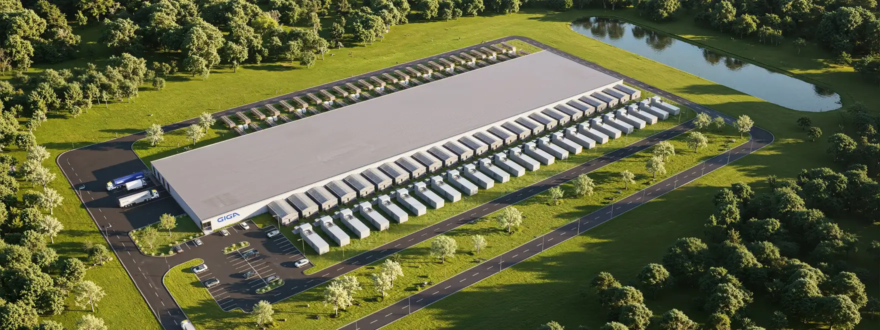
AI Data Center Renders Built From 2D Layouts in One Production Week
Case study: campus aerial, data hall and AI pod interior renders for a US AI data center developer, modeled from 2D layouts and delivered in seven days.