Site Plan and Aerial Rendering Services
 4.8
 4.9
Trusted by leading teams











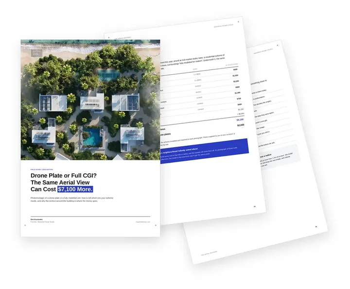
Free guide: drone plate or full CGI, and the $7,100 between the two
The teams whose logos sit above rarely describe the surroundings of an aerial in more than one line, and that line decides the price. Priced honestly, four fully modelled aerial views came to $9,100, and the same four on drone plates to $2,000. The guide gives you eight questions that choose the method and the short brief those teams send us for aerial rendering.
- Free
- Instant download
- No sales call
If it didn't open, download it here.
Download the PDFThe bigger picture
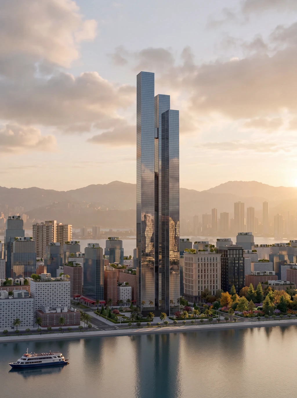
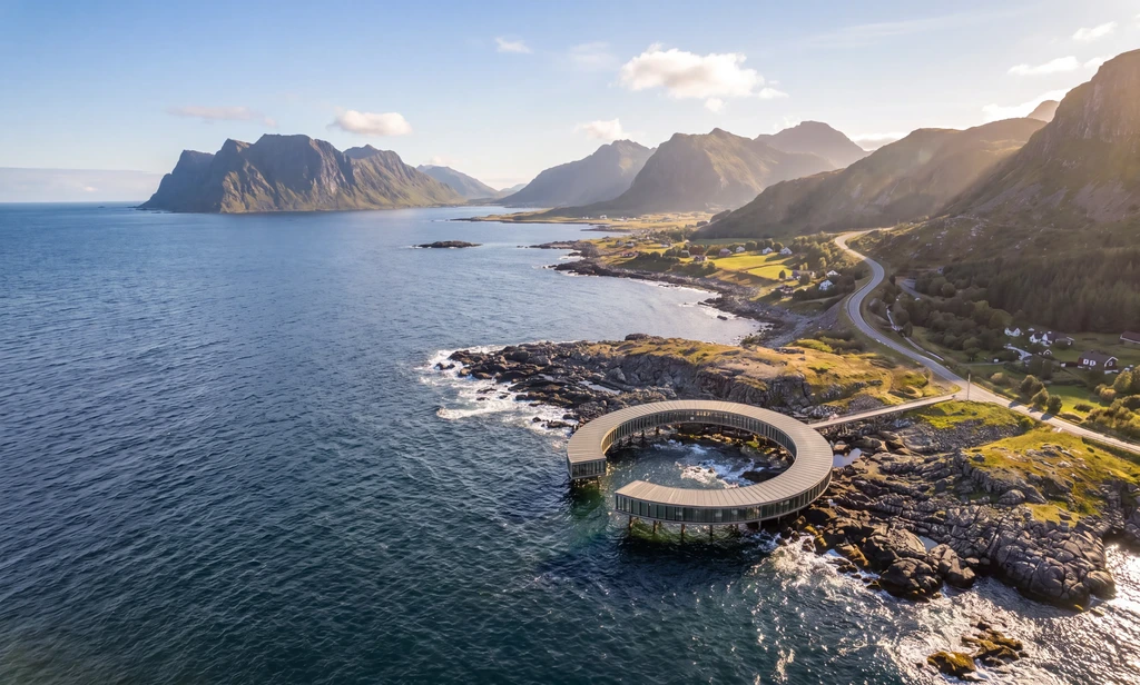
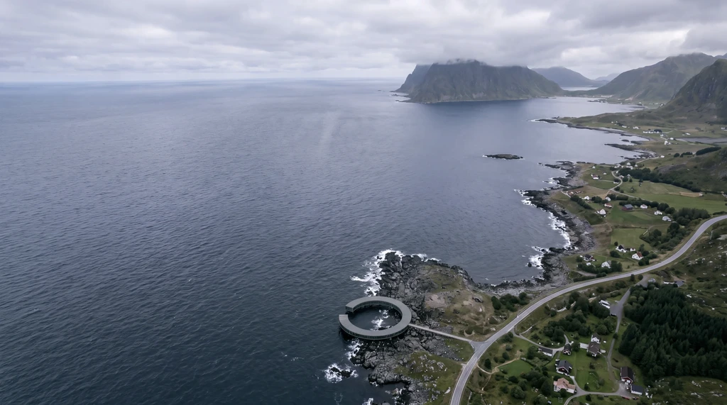
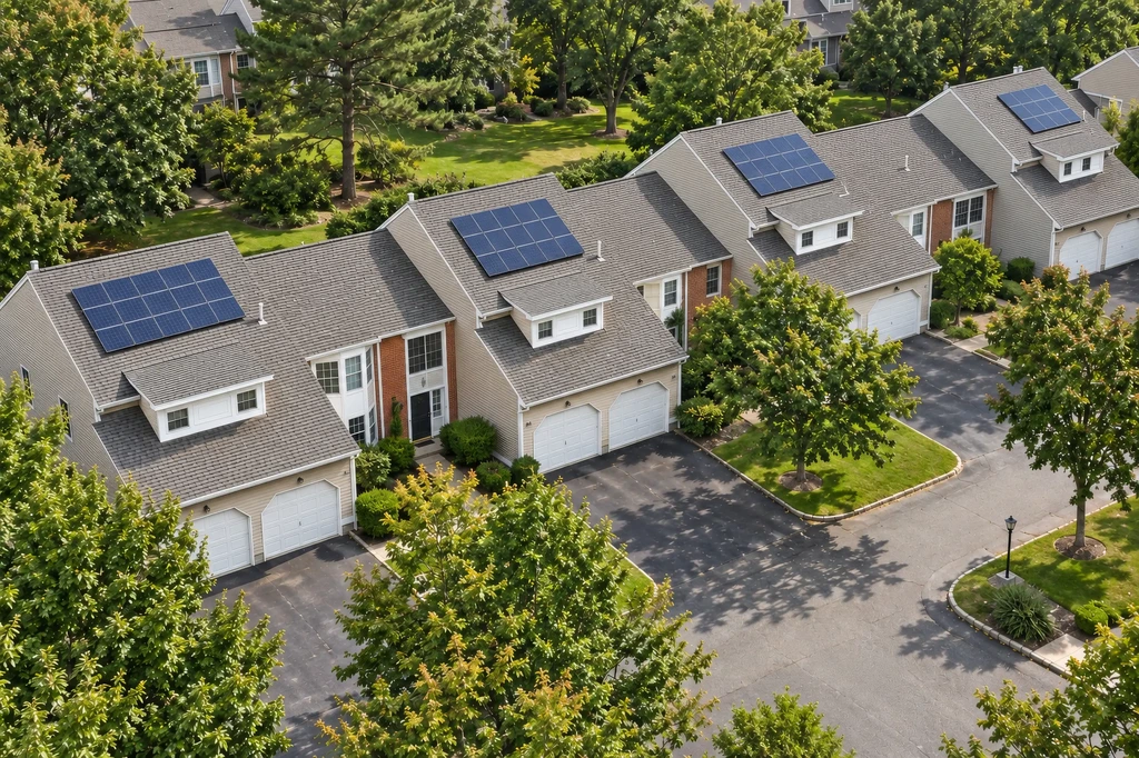
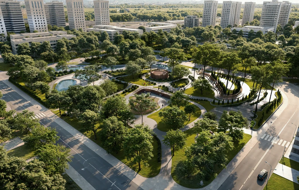
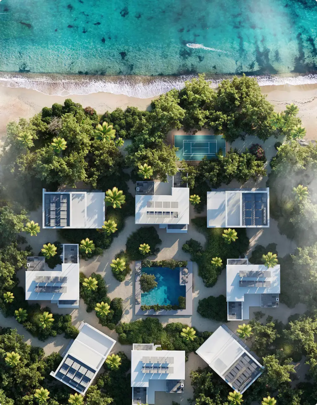
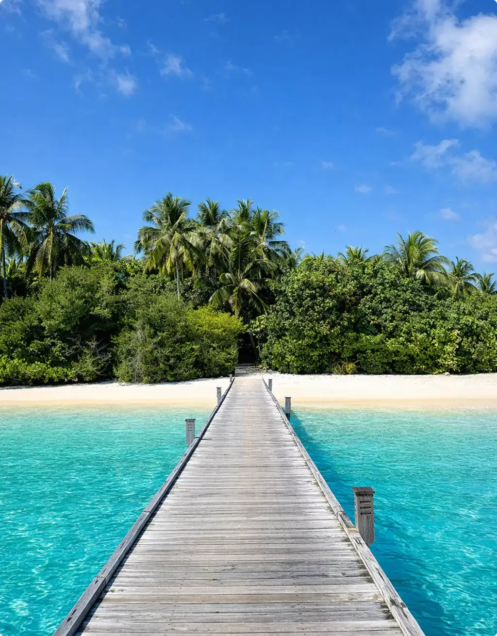
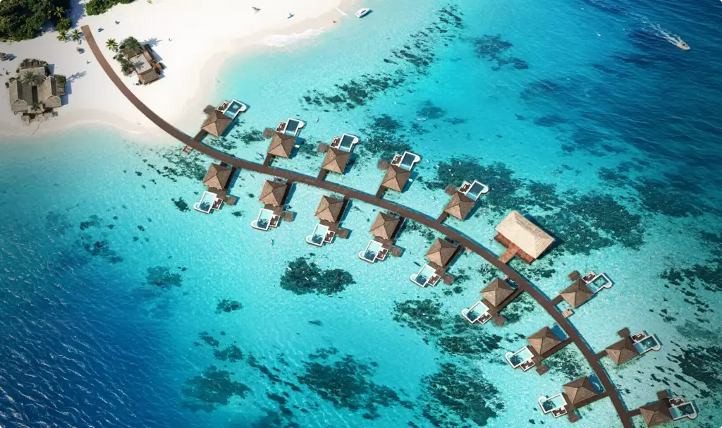
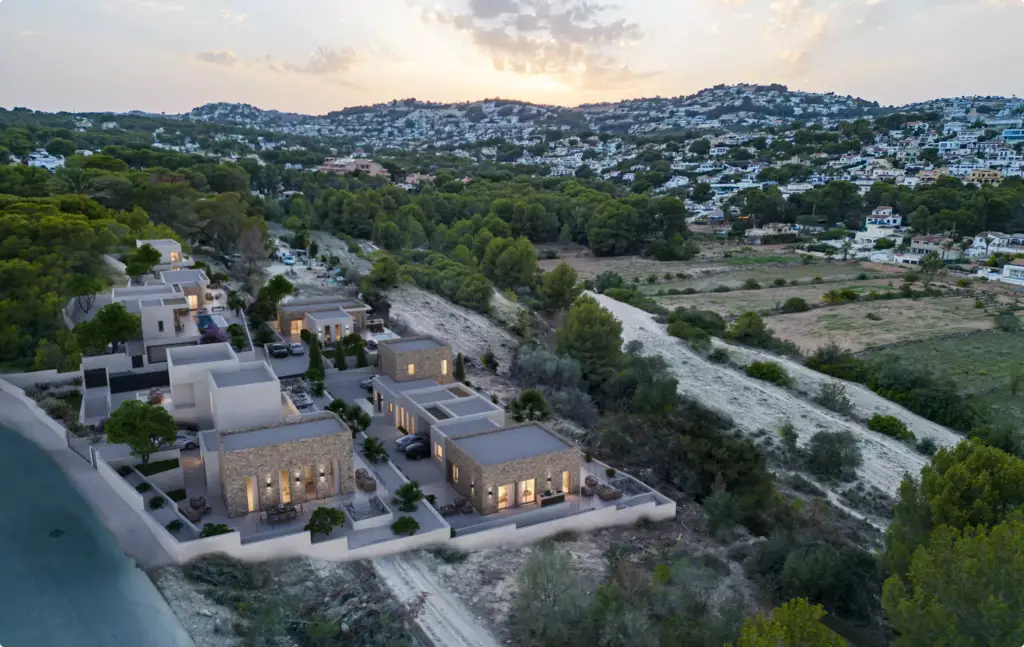
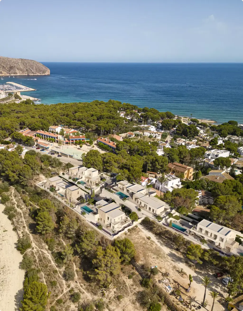
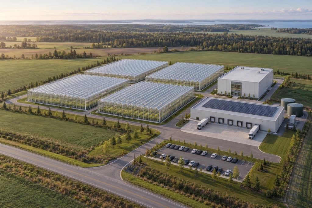
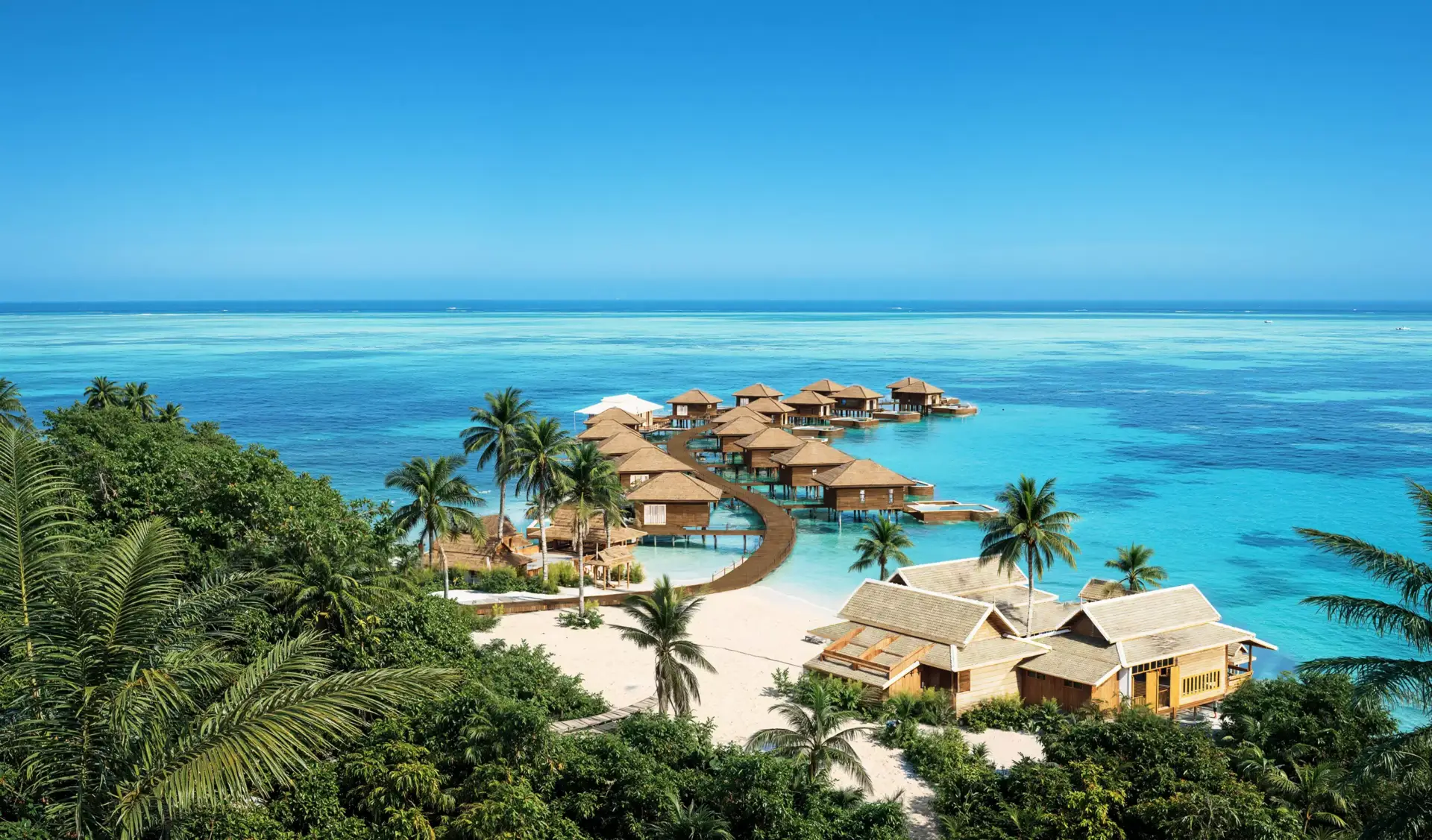
Projects that helped clients show scale and context
Wide project views created for masterplans, resorts, residential communities, and development presentations.
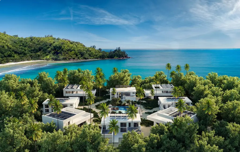
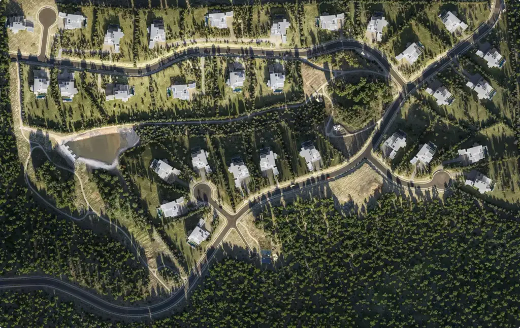
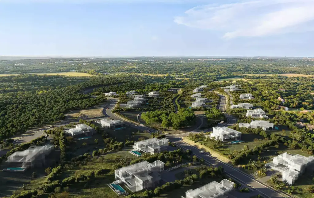
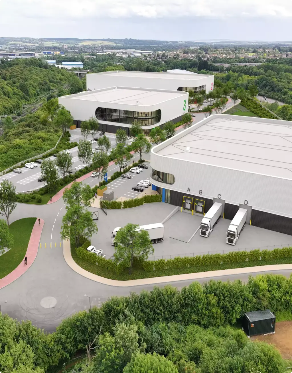
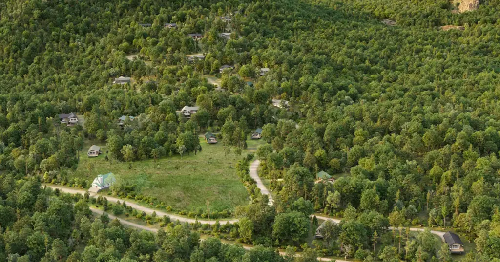
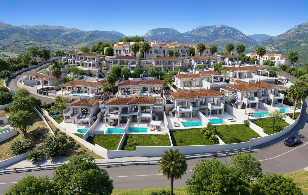
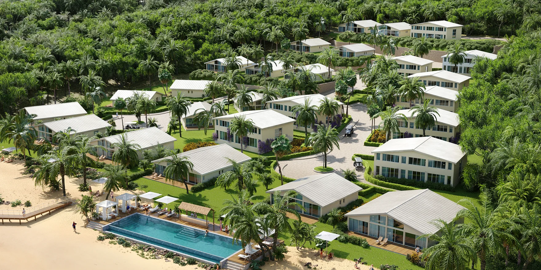
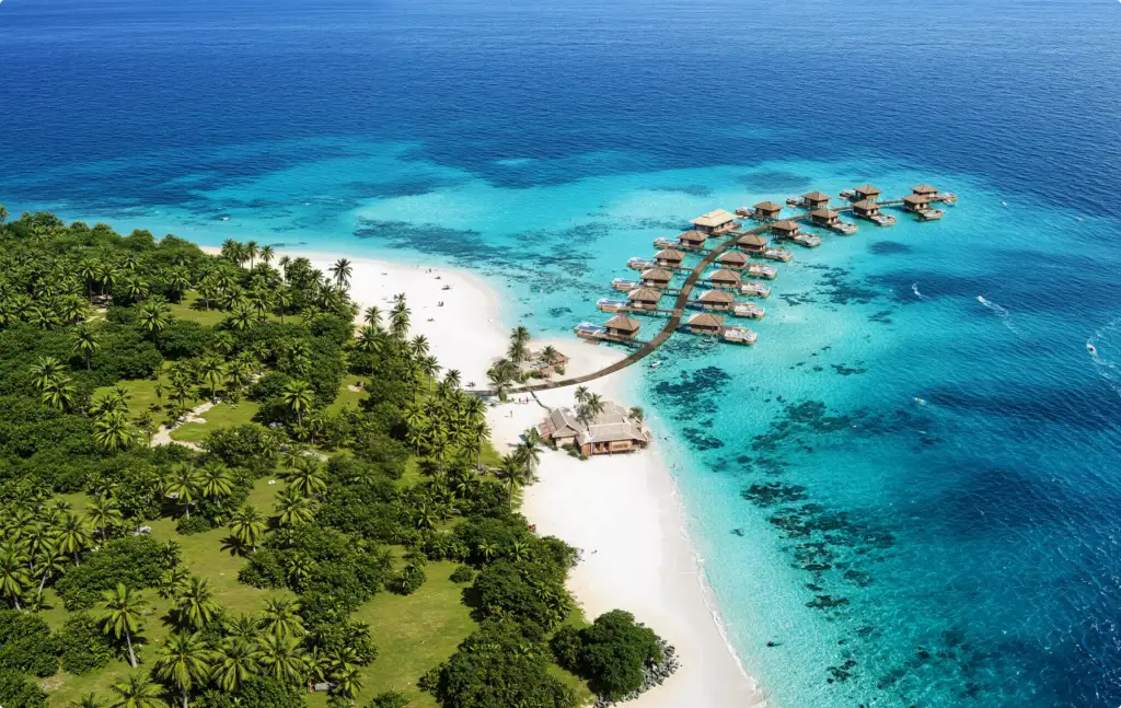
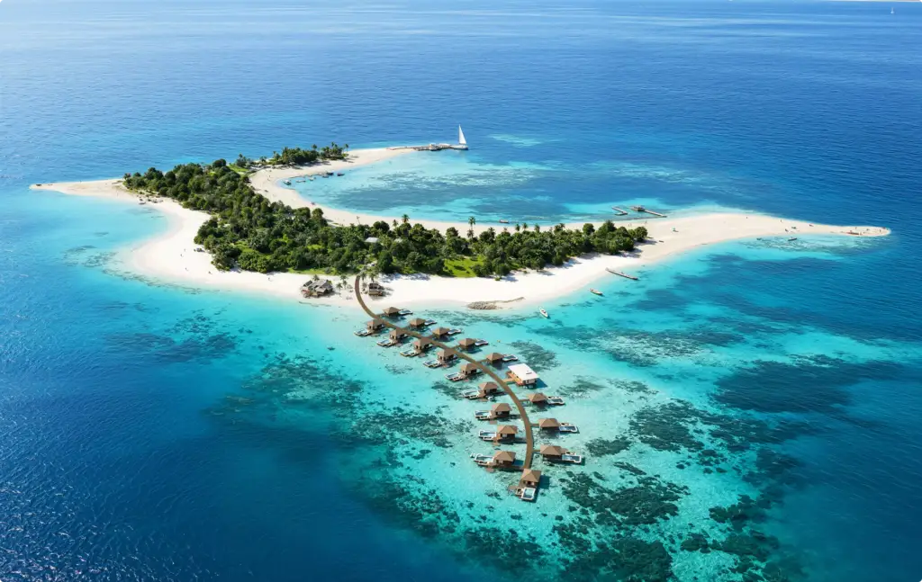
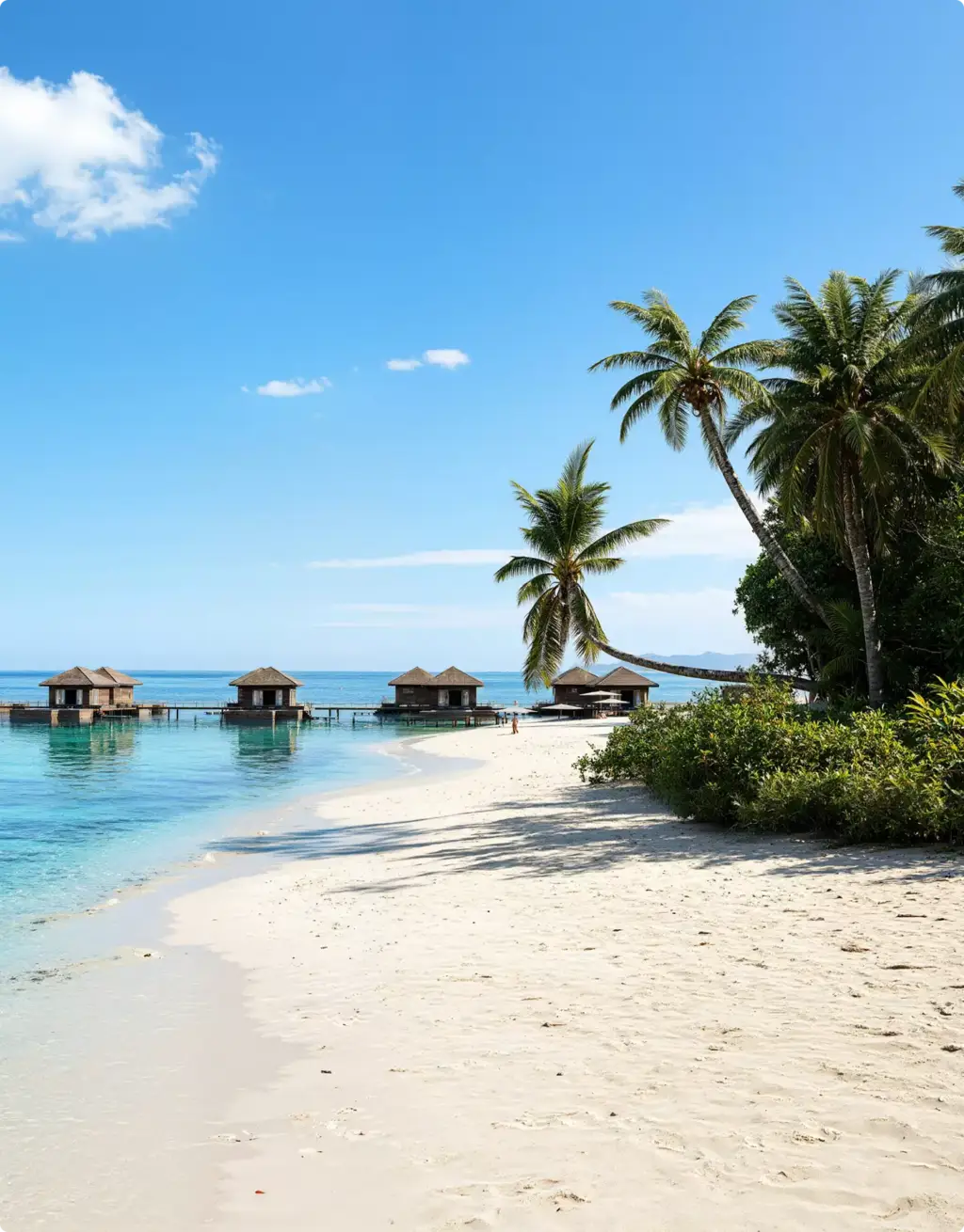
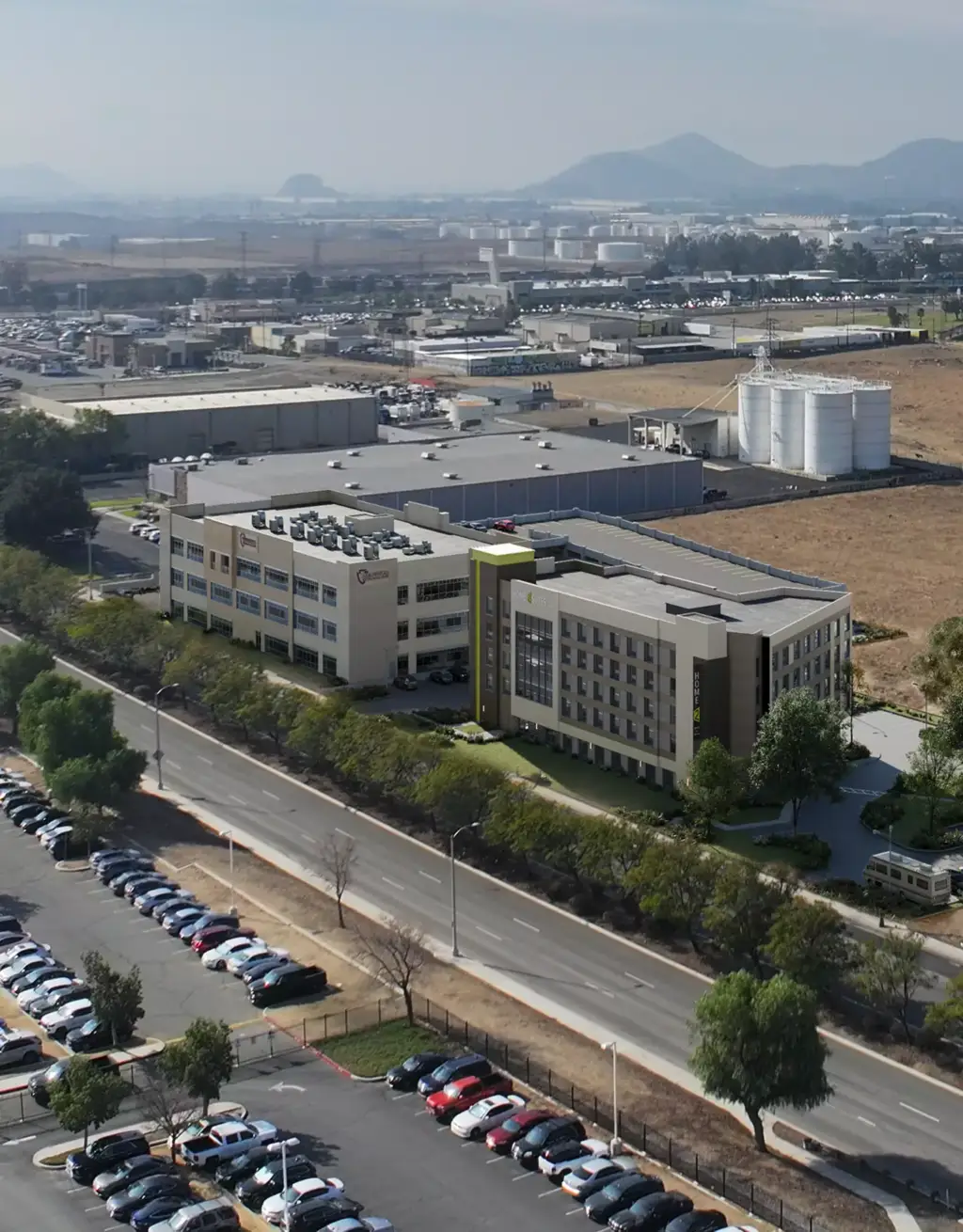
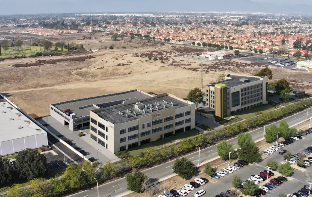
Free: the full portfolio
Leave your email and we will send a hand-picked set of projects in full resolution, matched to your project.
- Free
- Sent within one business day
- No sales call
Common Aerial Rendering Problems
Aerial Rendering Challenges We Solve
-
01 Happened to us
Visuals arrive too late
Deadlines get missed, and there’s no time left for revisions, extra views, or marketing materials.
Our fixWe start early and keep production structured, so your aerial renders are ready and polished before the deadline.
-
02 Happened to us
Every placement needs a different visual
Per-render pricing can make adaptations for websites, ads, decks, and social media too expensive.
Our fixWith hourly production, extra aerial renders and format adaptations are often much cheaper once the scene is ready.
-
03 Happened to us
Freelancers disappear after delivery
When updates are needed later, the original freelancer may be unavailable and the files become hard to edit.
Our fixOur team keeps the workflow organized, so future changes, new versions, and additional aerial renders stay manageable.
-
04 Happened to us
Agencies often outsource 3D work
Many marketing agencies rely on external contractors, which can create quality, timing, and communication risks.
Our fixOur in-house CGI team gives you direct support across modeling, rendering, animation, and marketing assets.
-
05 Happened to us
Vendors split the production cycle
A model built in one place may be unusable in another, causing delays, rebuilds, and extra cost.
Our fixWe cover the full pipeline: 3D modeling, aerial renders, animations, presentations, and marketing assets.
-
Had any of these? Tick them.
12 questions before your site plan goes out late
Your PDF is ready.If it didn't open, download it here.
Download the PDF
More Than Bird’s-eye Views — A Full Site Visualization Pipeline
A site needs different aerial views as it develops. Early views shape the master plan, then aerials raise finance, win approvals and sell plots, homes or units.
We model the terrain, roads and buildings once and keep the site up to date as it grows, so every next aerial set costs less than starting over.
Free: the site plan visuals roadmap
Which aerial and site plan views to order at each stage, what the site model carries over, and each stage's share of the budget.
Where is your project now?
- Free
- Instant download
- No sales call
If it didn't open, download it here.
Download the PDFPlan
Bird's-eye massing and site layout views for master planners and early design reviews.
Finance
Aerial context renders showing access, surroundings and phasing for investors and lenders.
Approve
Site plans and aerial views with roads and landscaping for authorities, city council, public hearings and town hall meetings.
Sell
Hero aerials, illustrated site plans and amenity maps for brochures, billboards and the sales office.
Build
Phase by phase aerials and progress views for partners, site hoardings and investor updates.
Production process
Aerial rendering process, shown on a Mallorca finca
Six steps from your design model and drone photographs to finished aerial views for investors, sales and planning. Shown on a real project: a finca renovation in Mallorca, rendered into the owner's own drone photography.
What must the views explain?
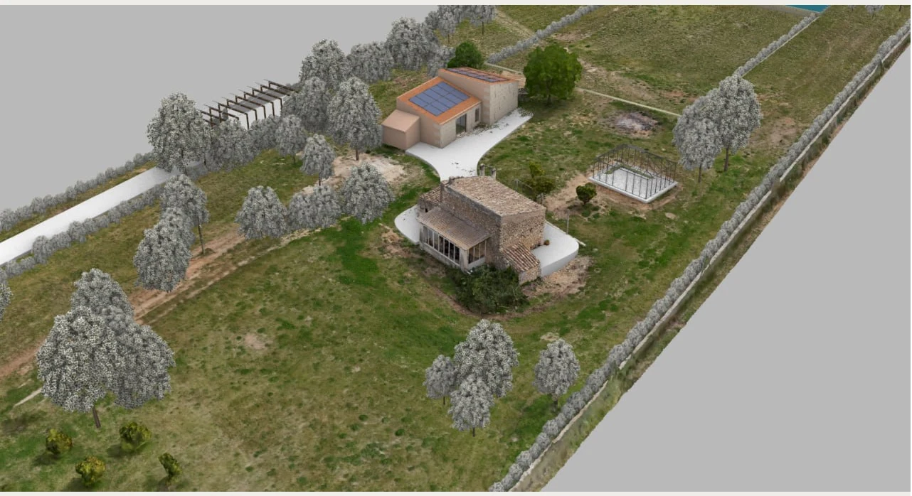
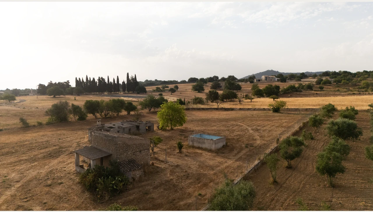
We start with your 3D model, drawings and site photographs: the existing buildings, the proposed structures, the landscape layout and the views the image set has to cover, from the whole site down to a single terrace.
- Site Brief & Input Data
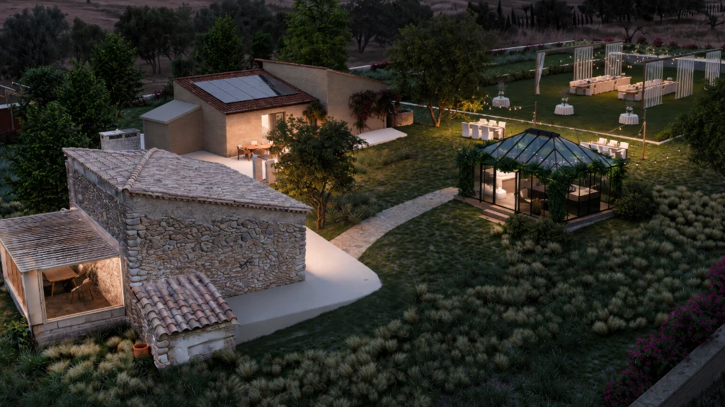
On this project: the client supplied a Rhino model of the design and drone photographs of the site. The brief was an aerial overview and two closer views, including an evening event setting, to present the property to investors.
Is the whole site ready to render?
We prepare the supplied geometry and build one working 3D scene of the site: buildings, terraces, the pool, courts, paths and boundaries, plus anything the model is missing, checked against the drawings from every planned camera.
- Site Modeling & Context Build
On this project: the scene was assembled in 3ds Max. The old building and the summer kitchen were modelled by our team; the pool, grass court, glass structure and walls were organised in the same scene.
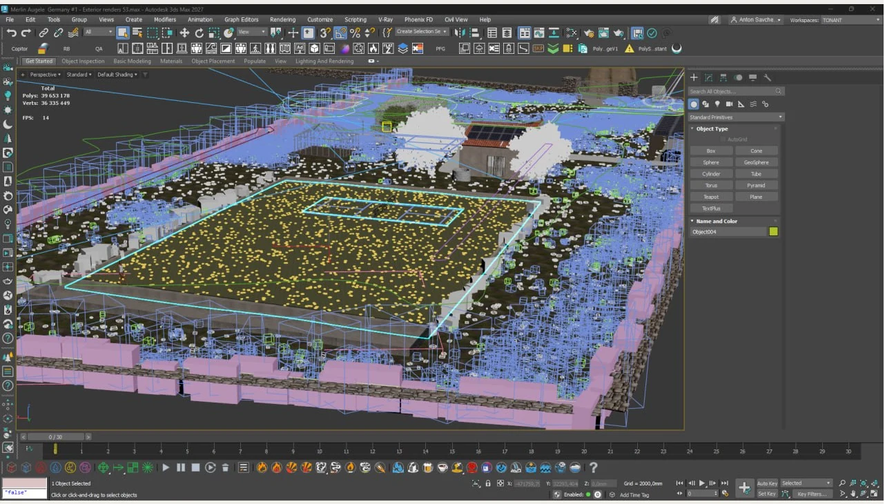
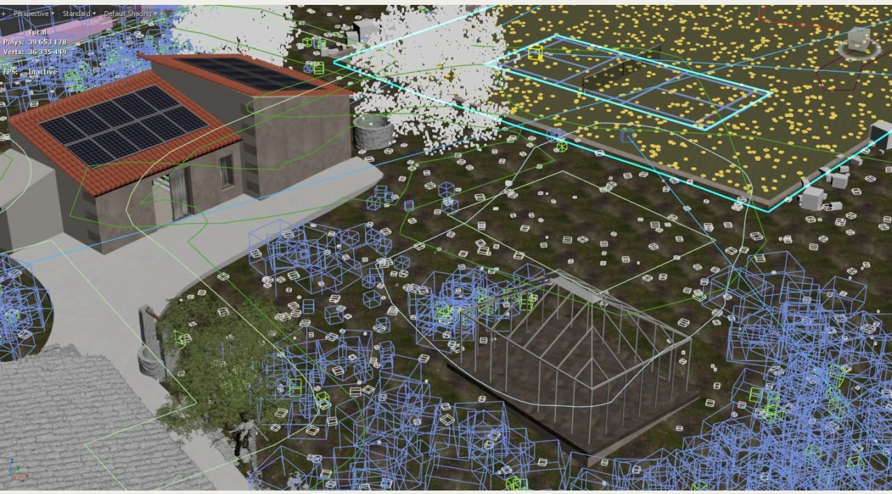
Does the site look like the real place?
Landscape decides how an aerial view reads. We place trees, shrubs, grasses and flowers along paths and boundaries with natural variation, and develop stone, roof, glazing and ground surfaces at the right texture scale for both distant and close views.
- Landscape & Site Development
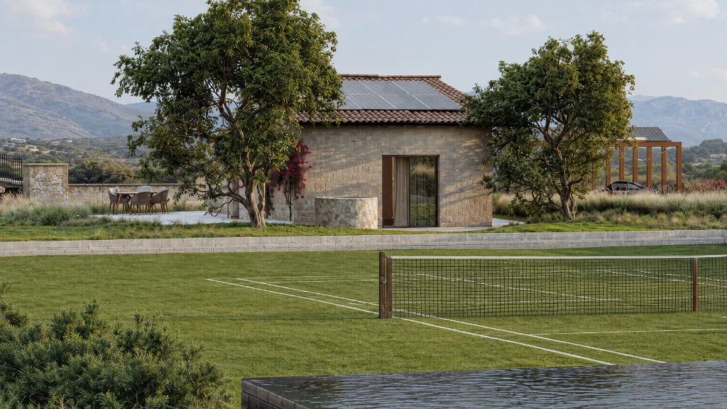
On this project: weathered masonry and the local calcareous sandstone specified for the renovation, with Mediterranean planting that works in the aerial image and in the pool-side view.
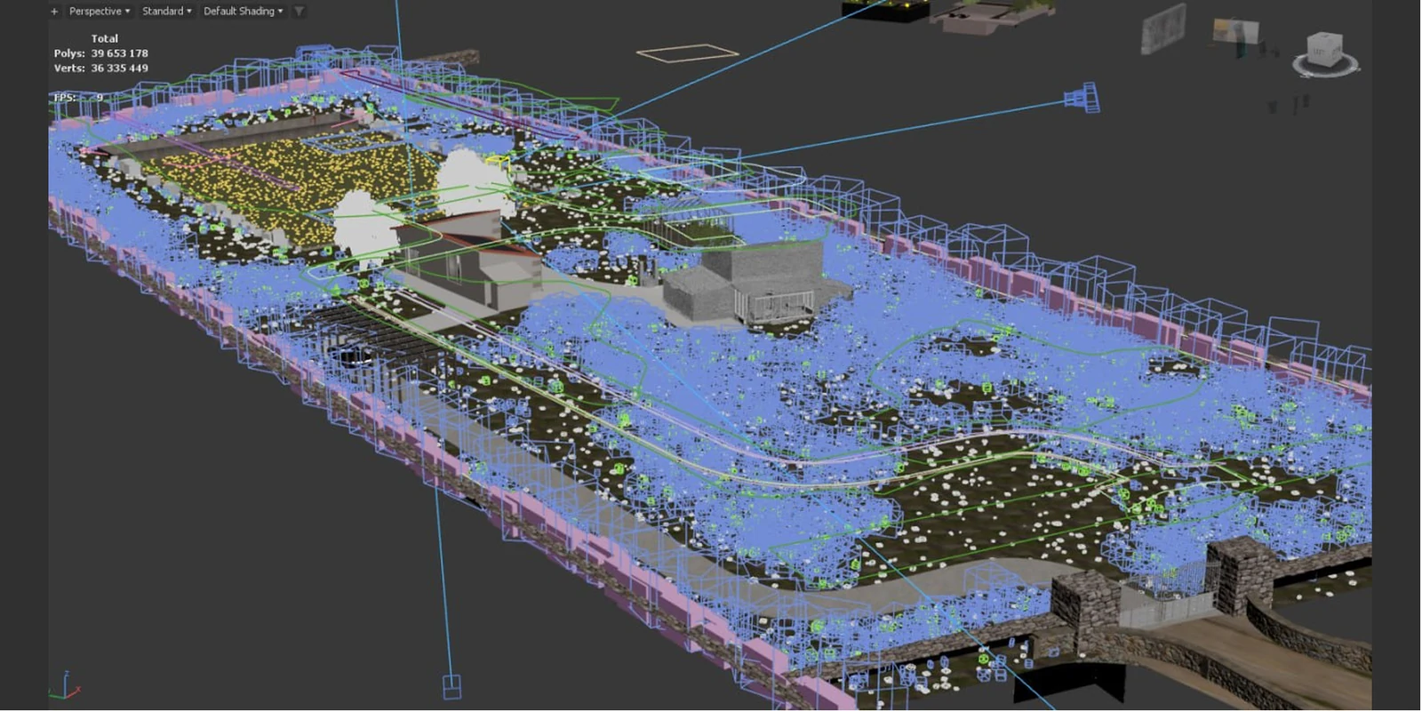
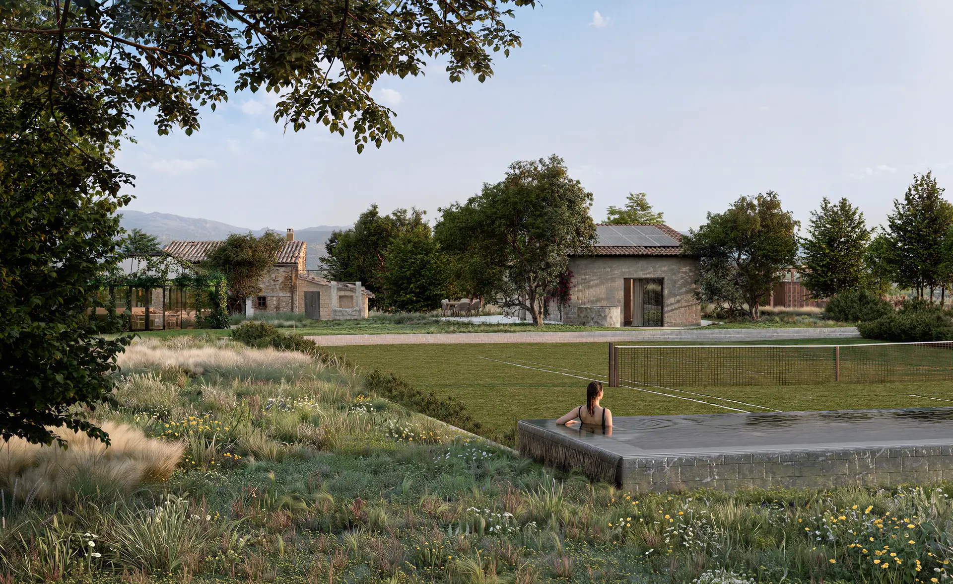
Which view explains the site best?
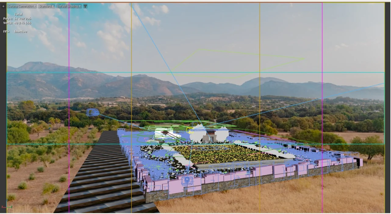
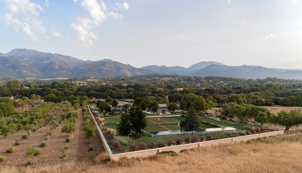
We test camera positions that show the complete site and those that reveal its smaller spaces. For views built into photography, the 3D camera is matched to the drone photograph, so the design sits in its real landscape at the right scale.
- Aerial Composition & View Setup
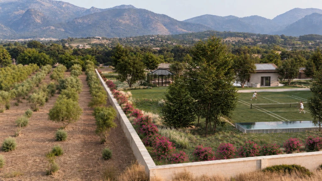
On this project: the elevated overview was aligned with the client's drone image of the olive groves and the Serra de Tramuntana mountains behind the site.
Does the CGI blend with the photograph?
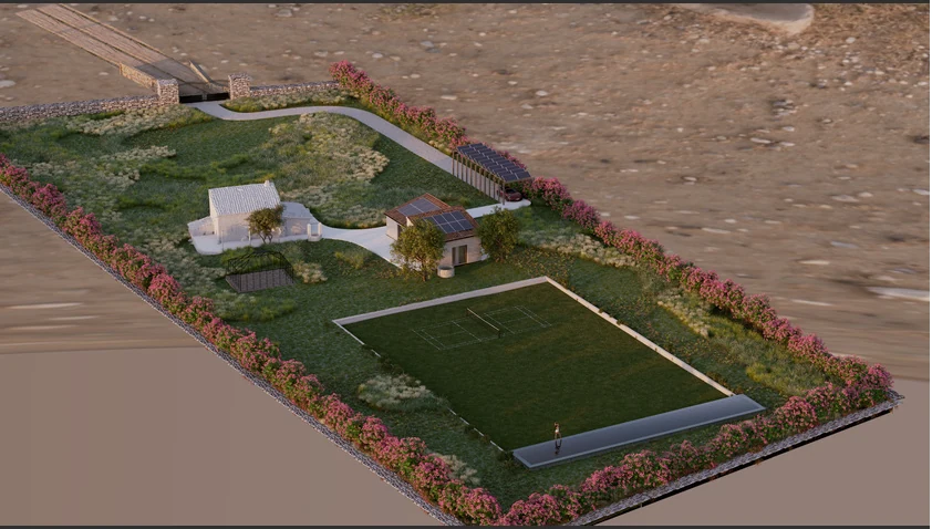
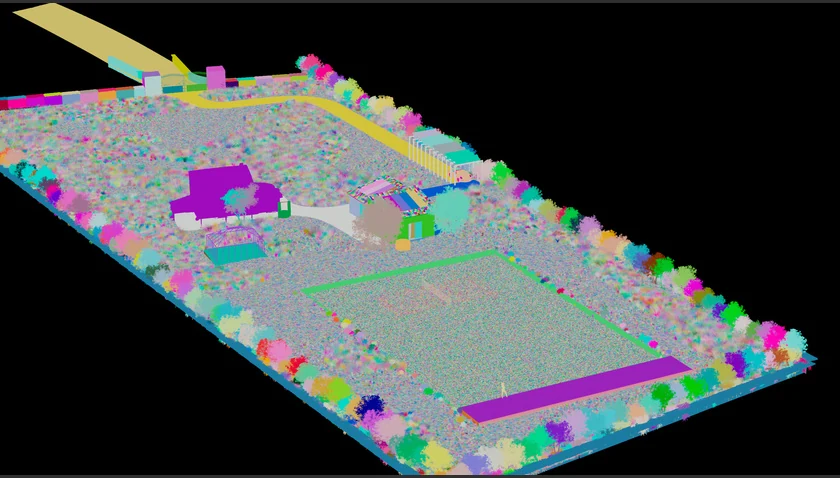
We render colour images together with object ID masks and separate passes, then finish the picture in Photoshop: colour, light, atmosphere and the transition between 3D and photography, so nothing looks pasted in.
- Materials, Lighting & Look
On this project: CGI renders were combined with the drone photography in Photoshop. AI assistance was used for selected background and atmosphere work, guided by the real site and the design geometry.
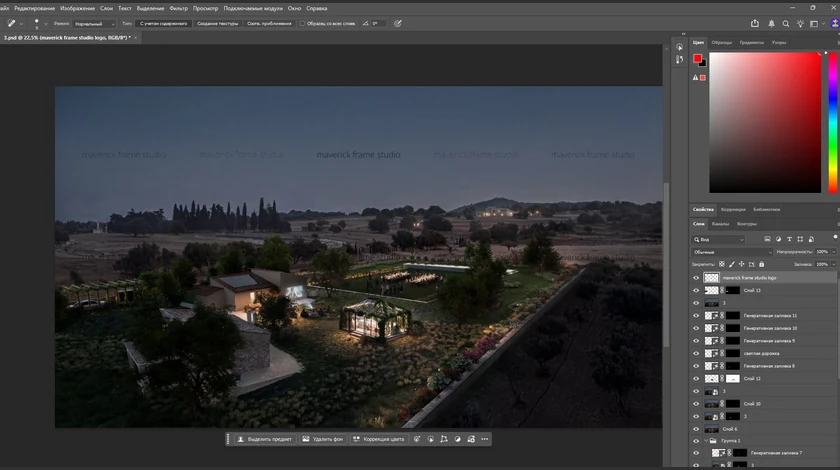
Is the set ready for the presentation?
Final views are rendered at high resolution and integrated into the photographs with consistent light and colour across the set. You receive images for investor decks, sales materials, the website and planning documents.
- Rendering & Image Integration
On this project: three coordinated views, from the site in its countryside to the pool side and the evening event lawn, delivered as 6000 × 3375 px PNG files for the client's property presentation.
Why Choose Us
A Reliable Team for Complex Aerial Rendering Projects
From a single bird’s-eye view to a full master-plan set, we provide the team, process, and visual judgment to present your aerial project at its best.
- 01
30+ in-house specialists
A larger team means fewer production risks. Your aerial project keeps moving even when schedules shift, revisions appear, or extra assets are needed.
- 02
Parallel production teams
For multi-part projects, mixed scopes, or campaign work, we put the right specialists on it at the same time and cut the waiting between stages.
- 03
Dedicated project manager
You won’t re-explain your workflow each time. A dedicated manager stays with you across projects, remembers your preferences, and keeps communication, files, feedback, and deadlines organized.
- 04
Immediate production start
We keep production capacity on standby, so your aerial project can start when you need it — not weeks later when a team finally becomes free.
- 05
Experience across project scales
From small one-off tasks to large-scale aerial programs, we assign the manager and team that fit your scope, complexity, and level of detail.
- 06
A trained, commercial eye
After dedicated training with real estate photographer Christopher Lee, our team knows how to choose angles and compositions that make your aerial work look clear, valuable, and ready to use.
Check a start date for your project
Tell us the scope and the deadline. Within one business day we reply with a start date, the team we would put on it and a price range.
Scope
Deadline
- Reply within one business day
- No obligation
Remote studio, your time zone
Site Plan and Aerial Rendering Support Worldwide
We support site plan and aerial visualization projects worldwide, with a fully remote workflow that removes location barriers and keeps large-scale presentations moving efficiently. Whether you need site plan rendering, aerial rendering, master plan visuals, bird’s-eye views, or large-scale development presentations, our process is structured around your files, feedback, and deadline.
Multilingual communication
Discuss your site plan and aerial rendering project in English, Spanish, German, French, or another language supported by our team.
Remote workflow worldwide
We are not limited to one city, region, or development market. Share site plans, CAD files, master plans, landscape layouts, zoning references, maps, markups, and feedback online — no in-person meetings required.
Flexible schedule and 24/7 production mindset
Our team is structured to support different time zones, urgent investor presentations, planning submissions, real estate launches, design approvals, and tight aerial rendering deadlines.
Book a 30-minute call
Which day suits you?
What time?
Where should we send the invite?
- 30 minutes
- Free, no obligation
- Invite by email
30-second aerial quiz
Not sure which aerial render you need? Find your fit
Answer four quick questions about your development and we’ll match you with the right aerial & site plan rendering approach — plus a free, tailored next step for your project.
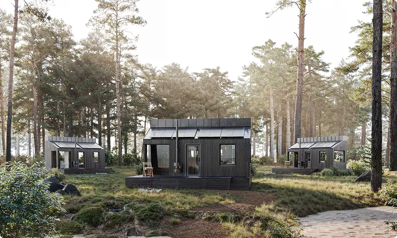
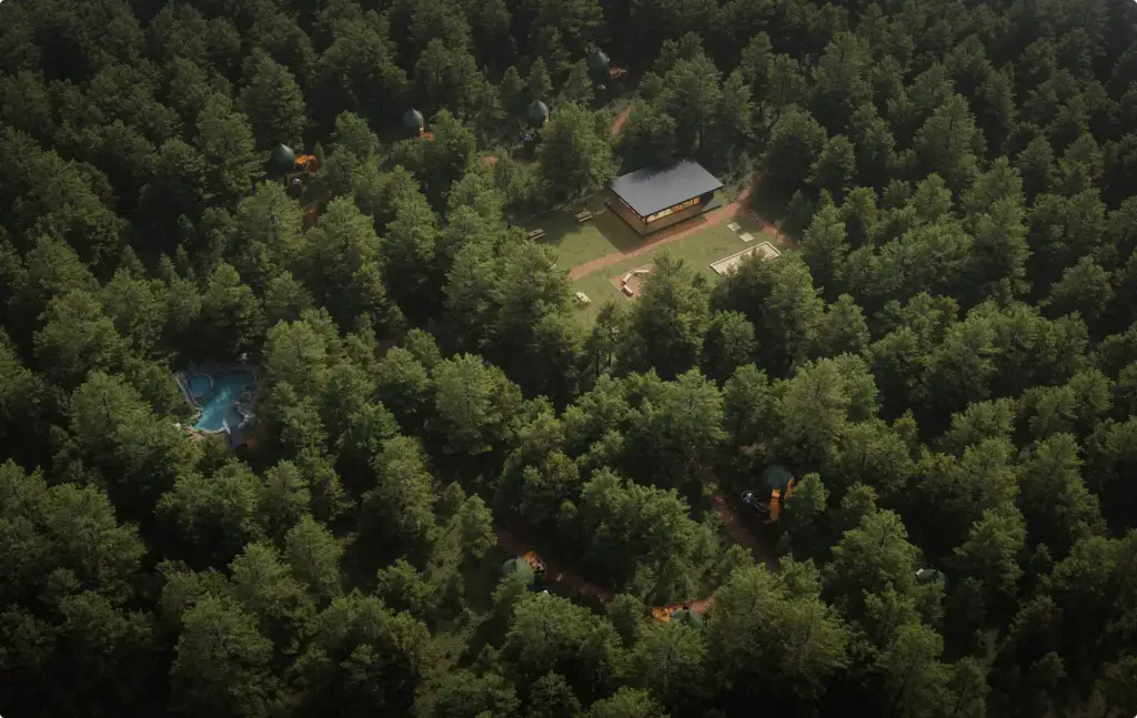
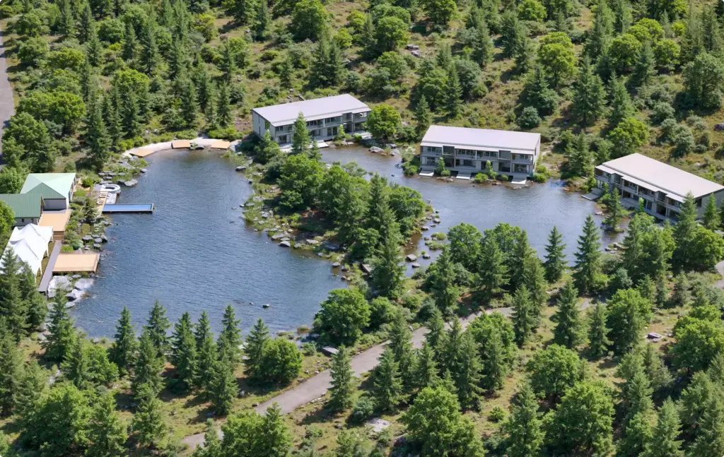
Pick the look you love
What are you visualizing?
What’s the main goal?
Where’s your project now?
Almost there — where do we send it?
Your tailored plan and a free next step for your project.
No spam — we only email about your project.
Photoreal aerial & site rendering — built to win approvals
We’ll email your tailored aerial rendering plan shortly.
Pricing
Aerial Rendering Pricing
Aerial Rendering cost depends on the scope, number of views, level of detail, source files, the software required, and the intended use of the visuals. We stay flexible and offer options for every need — from a single one-off task to ongoing creative production support.
How many views?
What kind of view?
A guide from typical projects. The exact scope and price come with the quote.
Estimated work
~72h
Get the exact price
Tell us what you need. Within one business day we reply with a fixed price for your project.
Per Project
Pricing depends on project scope, complexity, number of views, level of detail, materials, revisions, and special requirements.
Best for: The easiest, no-risk way to test our workflow or handle a small task.
Hourly Most Popular
Pay only for the time actually spent on your task. A simple and flexible way to start without a long-term commitment.
Best for: One-time aerial projects, large visualization tasks, or clearly defined internal or client work that needs full production support.
Subscription
Monthly production capacity for ongoing rendering, design, web, branding, and marketing assets. Options for 40, 80, or 160 hours per month. Save up to 30% compared with hourly or one-off pricing.
Best for: Teams with ongoing creative production needs who want predictable capacity, faster turnaround, and better monthly rates.
FAQ
FAQ about our site plan and aerial rendering services
Didn’t find your question?
Ask it here. A producer replies within one business day — with an answer, not a sales call.
What are site plan and aerial rendering services?
What is an aerial rendering?
What types of residential projects can be rendered?
What is the difference between aerial rendering and site plan rendering?
What types of projects can be shown with aerial renderings?
How are aerial renderings used in real estate marketing?
Can aerial renderings help with approvals and presentations?
What is the difference between aerial rendering and drone rendering?
What materials are needed to start an aerial rendering project?
Free Test Render
Start With a Free Aerial Test Render
We prove our quality on your own project before you commit. Once we've scoped the work and agreed on terms, we deliver a free aerial test render — so you see exactly how it looks in our hands, with zero risk.
We reply by email within one business day with the conditions and next steps. By submitting, you agree to our Privacy Policy.