Urban Design Rendering for Redevelopment Sites, Districts and Master Plans
 4.8
 4.9
Urban design and redevelopment visuals from master plan to opening day
A redevelopment has to win over more people than a single building: the city that rezones the land, the investors who fund it, the council that votes on it and the residents who live next door. We build the district once in 3D and render the views each of them needs, from the whole site down to the bench at the bus stop.
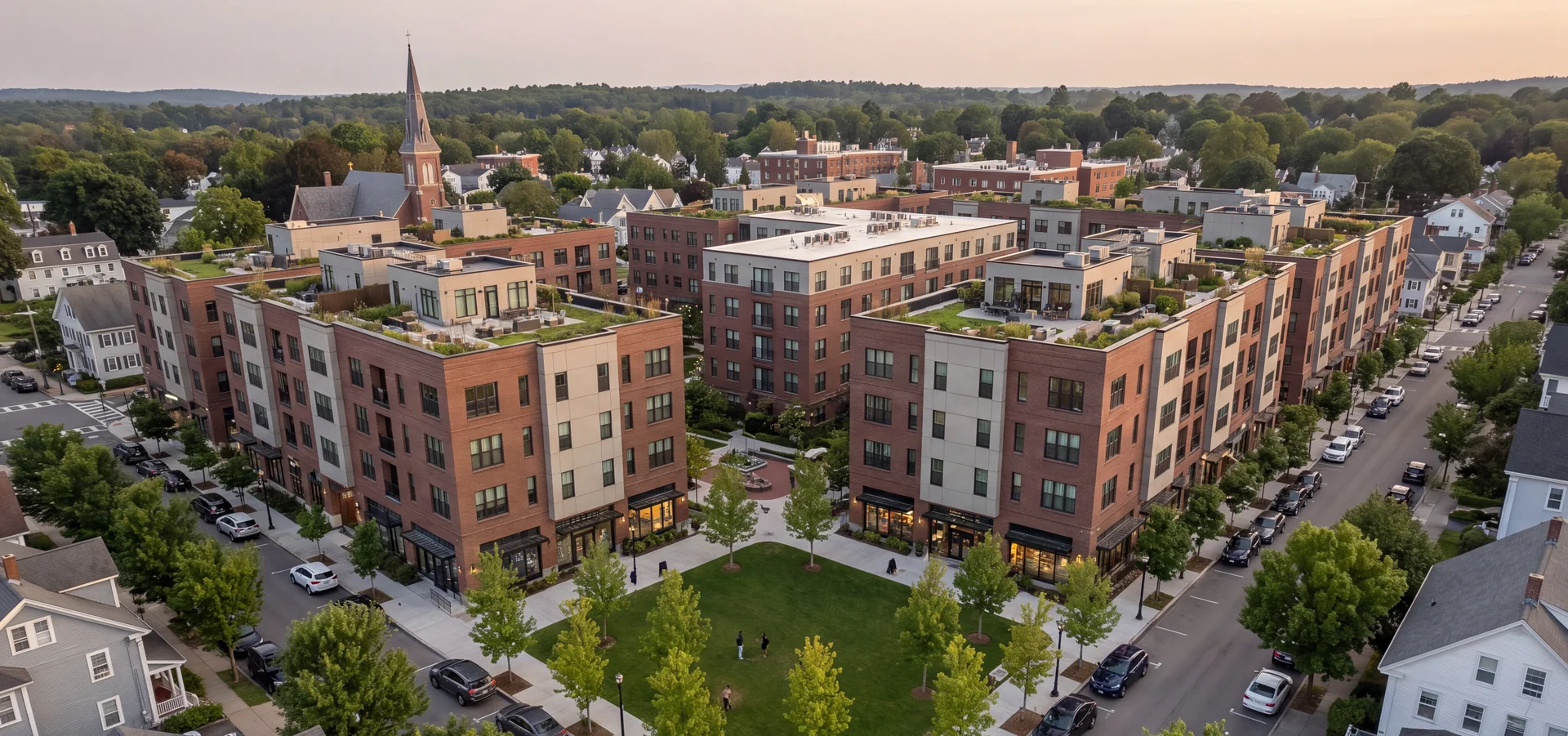
Aerial views of the whole district
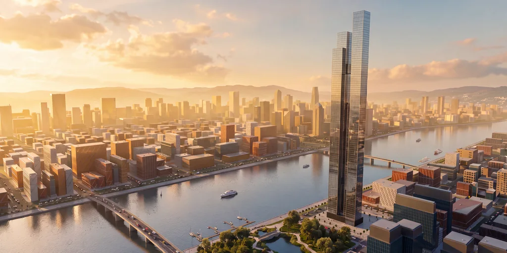
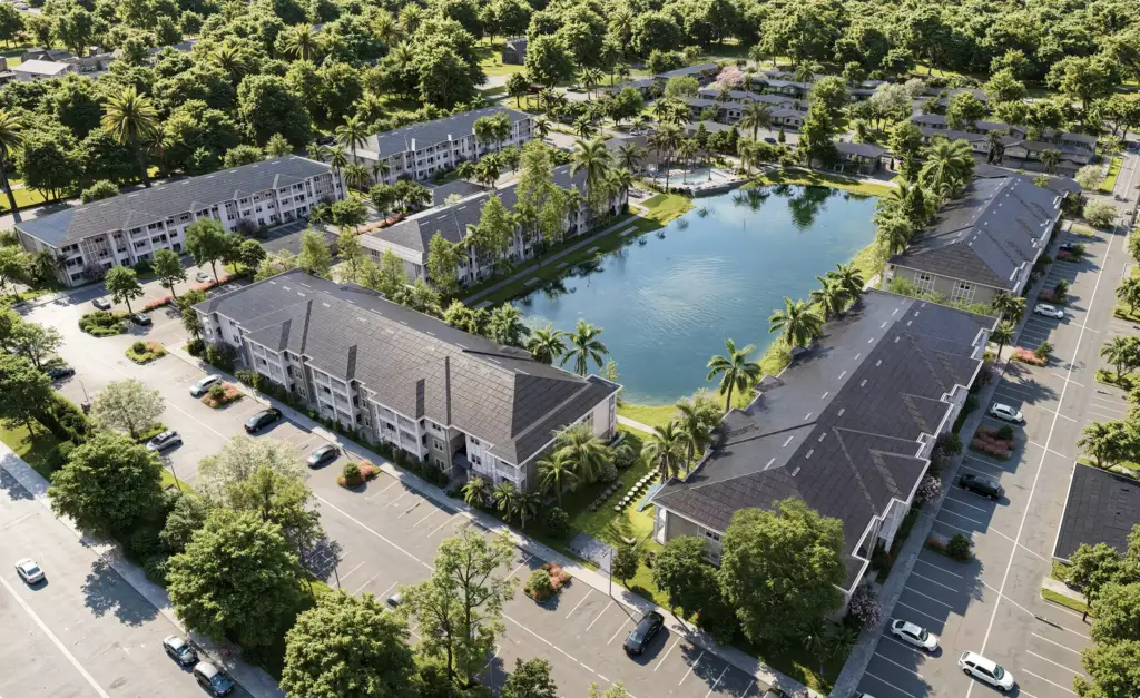
Drone-height views of the site in its city: blocks, streets, open space and the neighborhood around it, so everyone sees the scale before the first vote.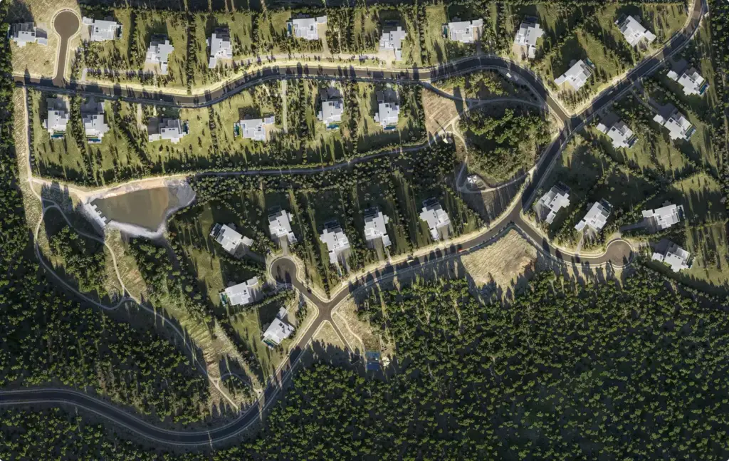
Rendered master plans and site plans
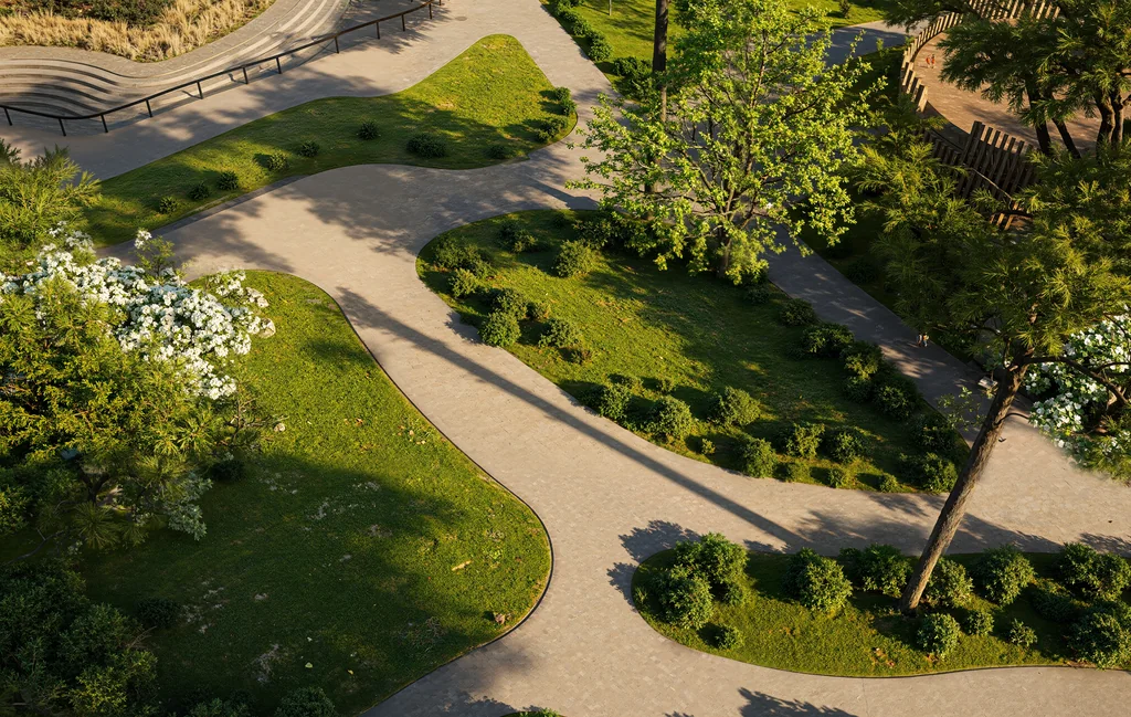
Top-down plans with real materials, planting and shadows that explain land use, phasing and circulation at a glance in a deck or a zoning file.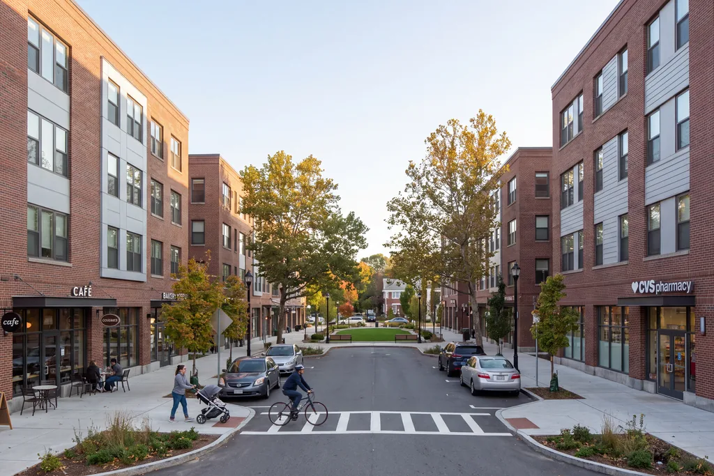
Streets and mixed-use frontages
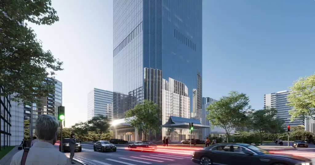
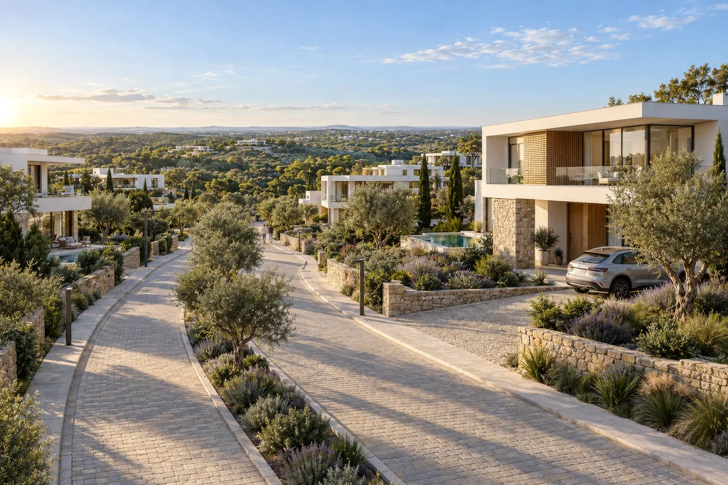
Eye-level views of shopfronts with homes above, sidewalks, street trees and lighting: the scenes residents picture when they hear “mixed-use”.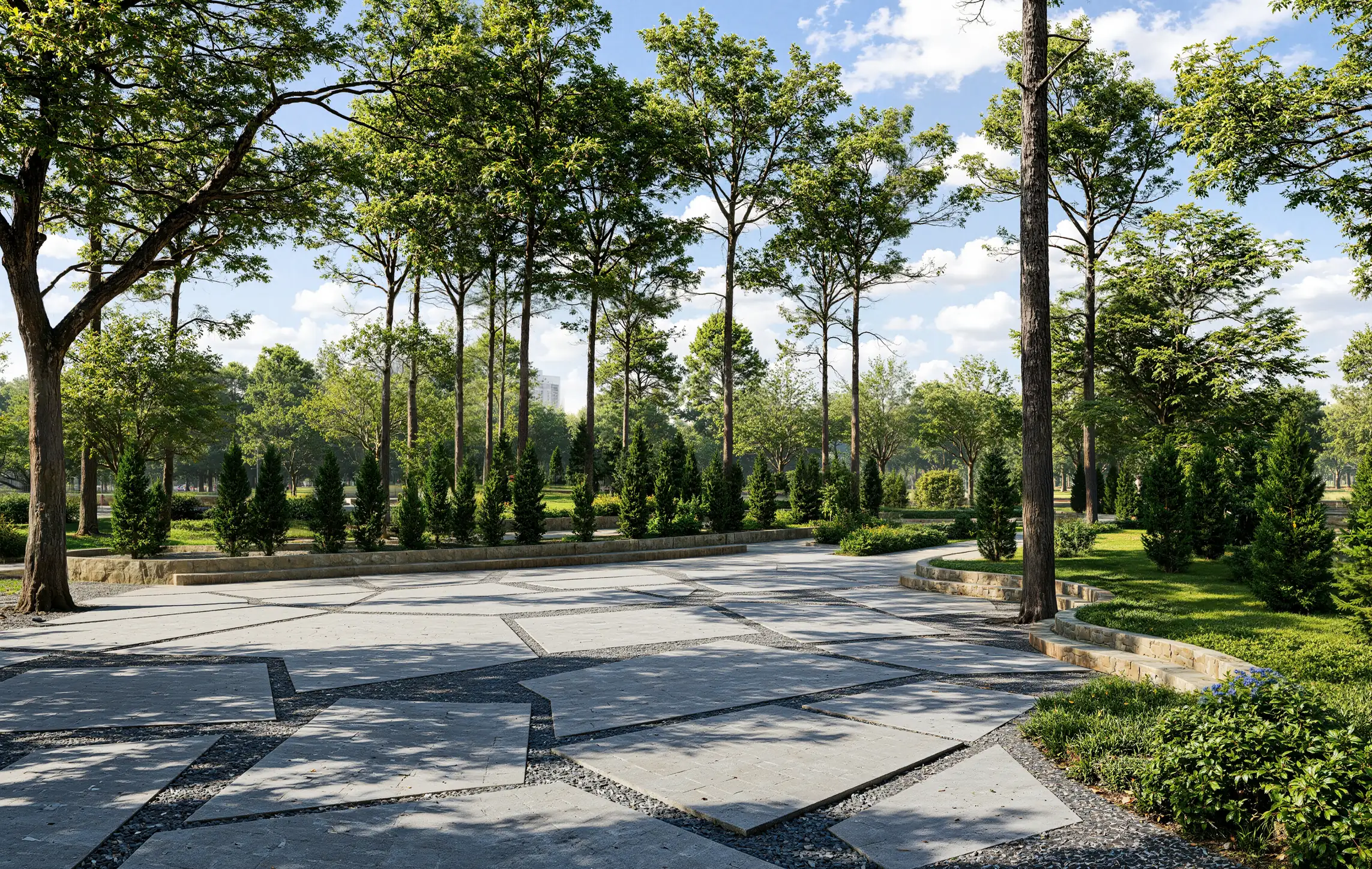
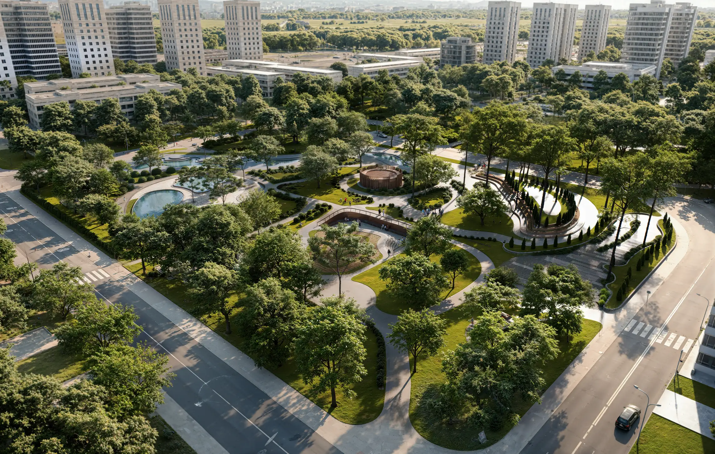
Plazas, parks and civic spaces
Squares, pocket parks and civic amenities at the height of a visitor, with seating, shade and people that make the public benefit tangible.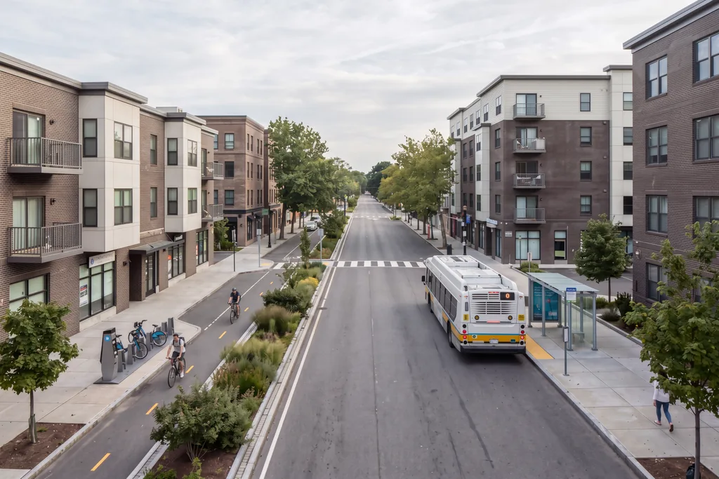
Mobility, transit and bike corridors
Bus stops, protected bike lanes, crossings and slower streets rendered in context, so traffic and access questions get a visual answer.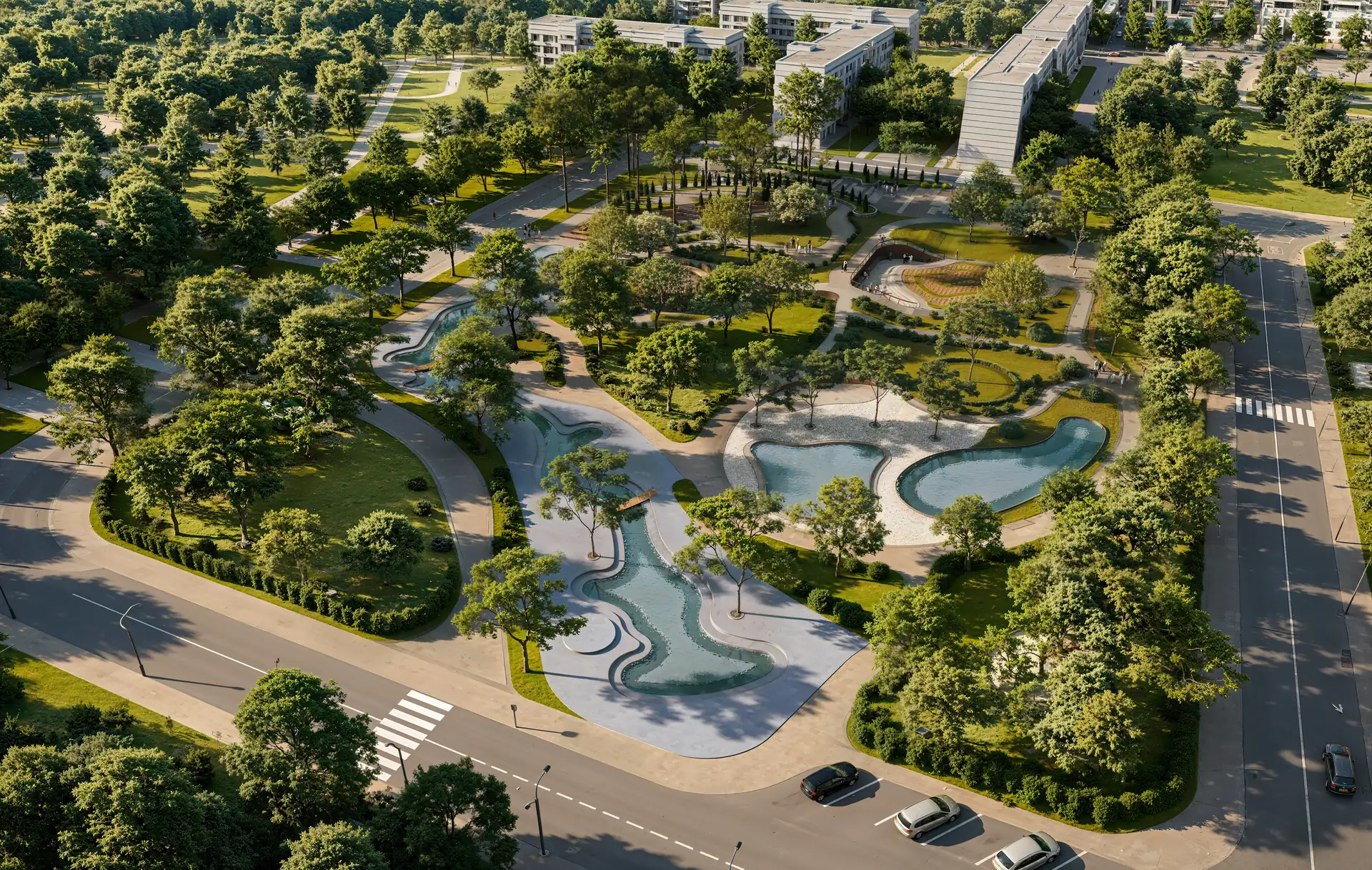
Green infrastructure and water
Rain gardens, tree canopy, bioswales and water features that show how the district handles stormwater and heat, not only how green it looks.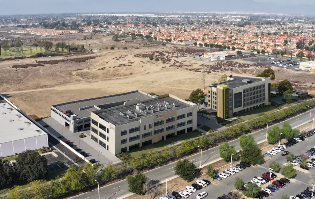
Commercial, employment and civic buildings
Offices, retail, schools and community buildings placed into the site plan, so the economic case for the project reads in one image.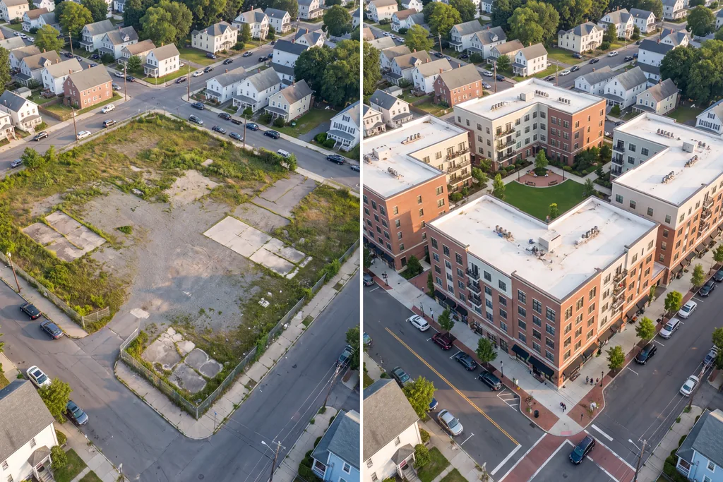
Before and after: vacant site to finished district
The same camera on today’s empty lot and on the finished district, phase by phase. The view that settles most town hall debates.Films for town halls and social media
Flythroughs and transformation films from the same 3D model: a 3–5 minute version for public meetings and short cuts for social media.
Any of these can be right. The set you need depends on whose vote comes next.
Which views to order is a late decision. What comes first is the job the images have to do: unlock funding, pass zoning, win the town hall or fill the first buildings. Tell us the next decision and we plan the set around it.
- Free
- No obligation
- NDA on request
Urban Design Rendering and Master Plan Visualization
Most studios sell you renders. We work out what will actually move your project forward.
Ask a rendering studio what you need and you get a quote for renders. We start from the outcome you are paid for: a committee that signs off, enquiries on a scheme that does not exist yet, a buyer who stops comparing, an investor who commits.
Send one email and our 3D strategist replies with a commercial plan for the project: what to show, to whom, in what order, where it goes to work, and what it takes. The list of deliverables is the end of that plan, not the beginning.
Free, and yours to keep even if you never work with us.
Thank you – your request has been sent.
Our 3D strategist is reading the project now and will write back with the plan: what to show, to whom, and in what order.
Before the first block is built
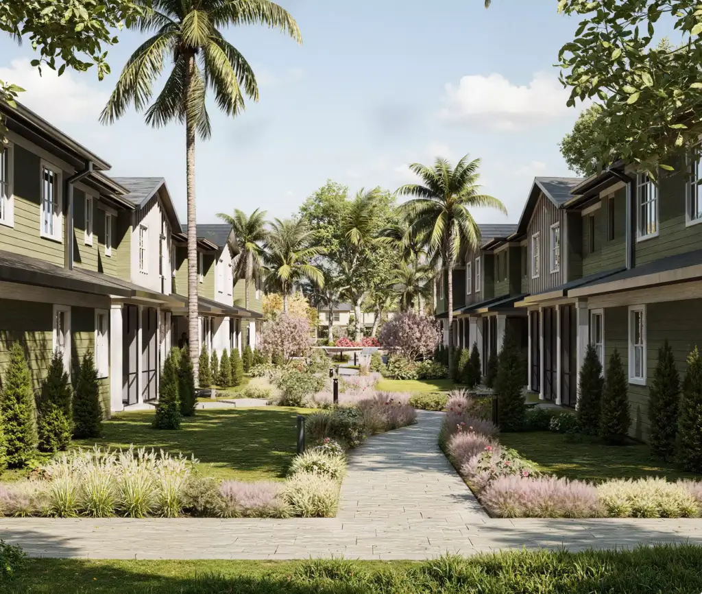
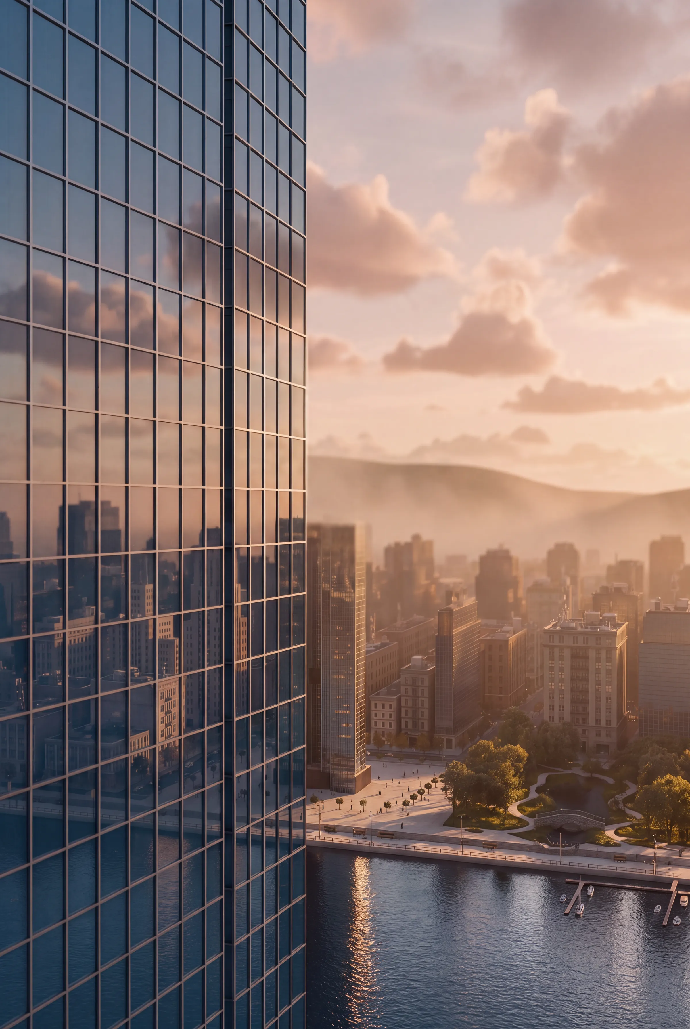
Districts, public spaces and city projects we have rendered
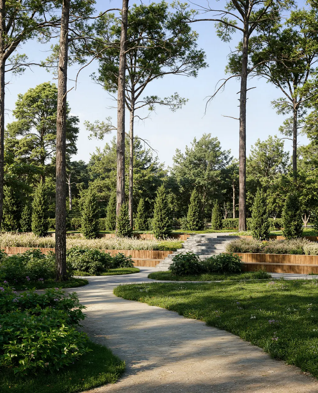
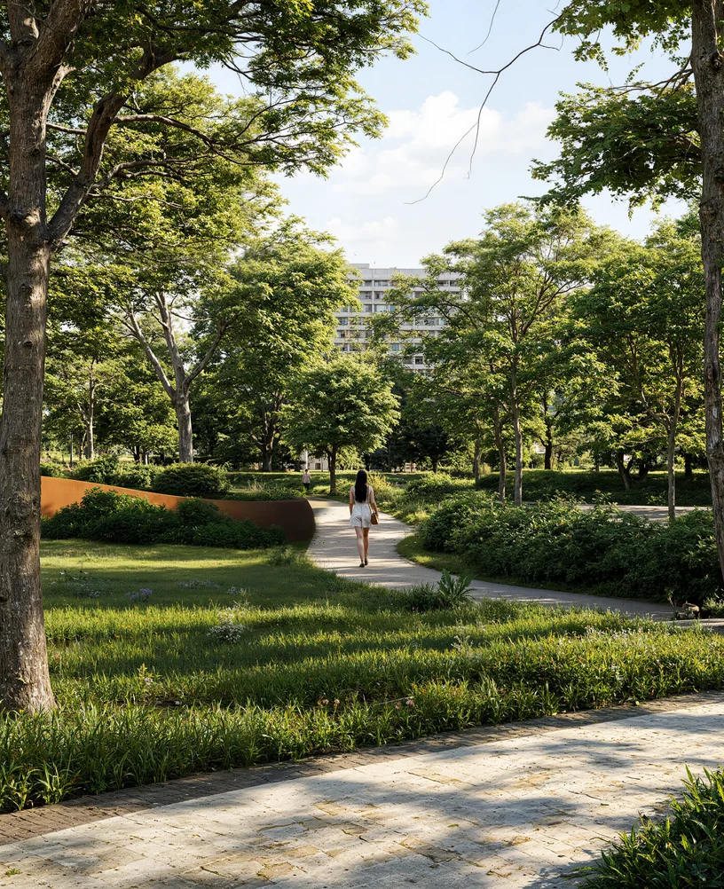
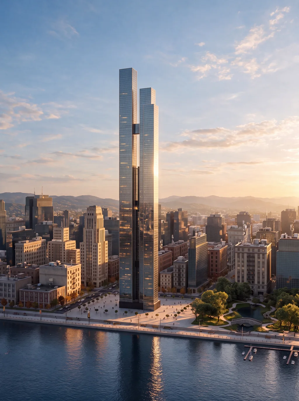
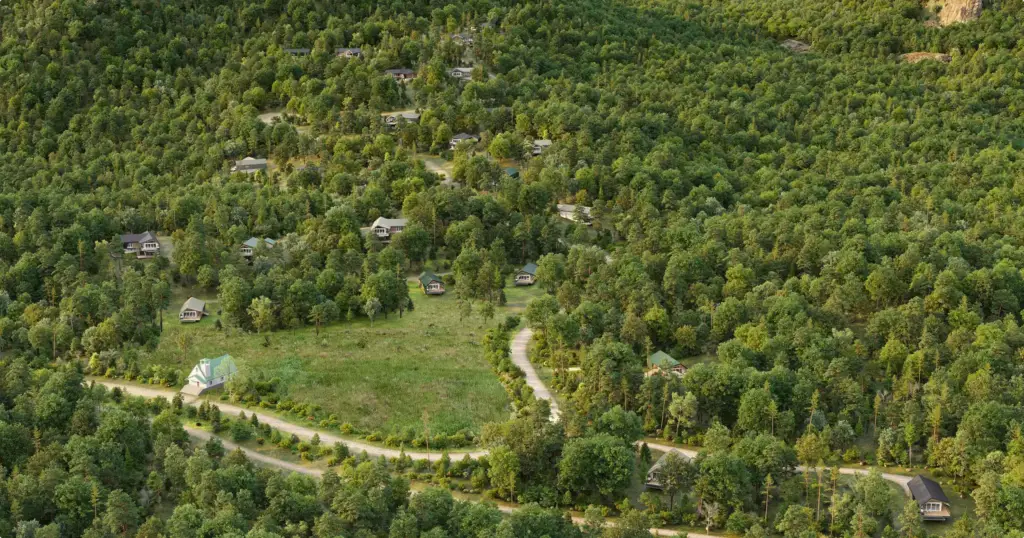
A city park between residential towers rendered for approval, a 550-meter mixed-use tower on a riverfront skyline and residential districts shown before construction, each from one 3D model.
Free: the full portfolio
Leave your email and we will send a hand-picked set of projects in full resolution, matched to your project.
- Free
- Sent within one business day
- No sales call
Trusted by leading teams










Free guide: you order 12 images, publish 4 and pay $3,700 for the rest
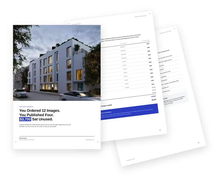
Look at the logos above: none of those teams orders architectural rendering by the dozen. They start from where the building will be seen and let the image count follow. In our composite of a typical order, twelve views were bought, four were published and $3,700 went on images nobody used. The guide gives you the priced order, the place-by-place sizing list and the short brief to send instead.
- Free
- Instant download
- No sales call
If it didn't open, download it here.
Download the PDF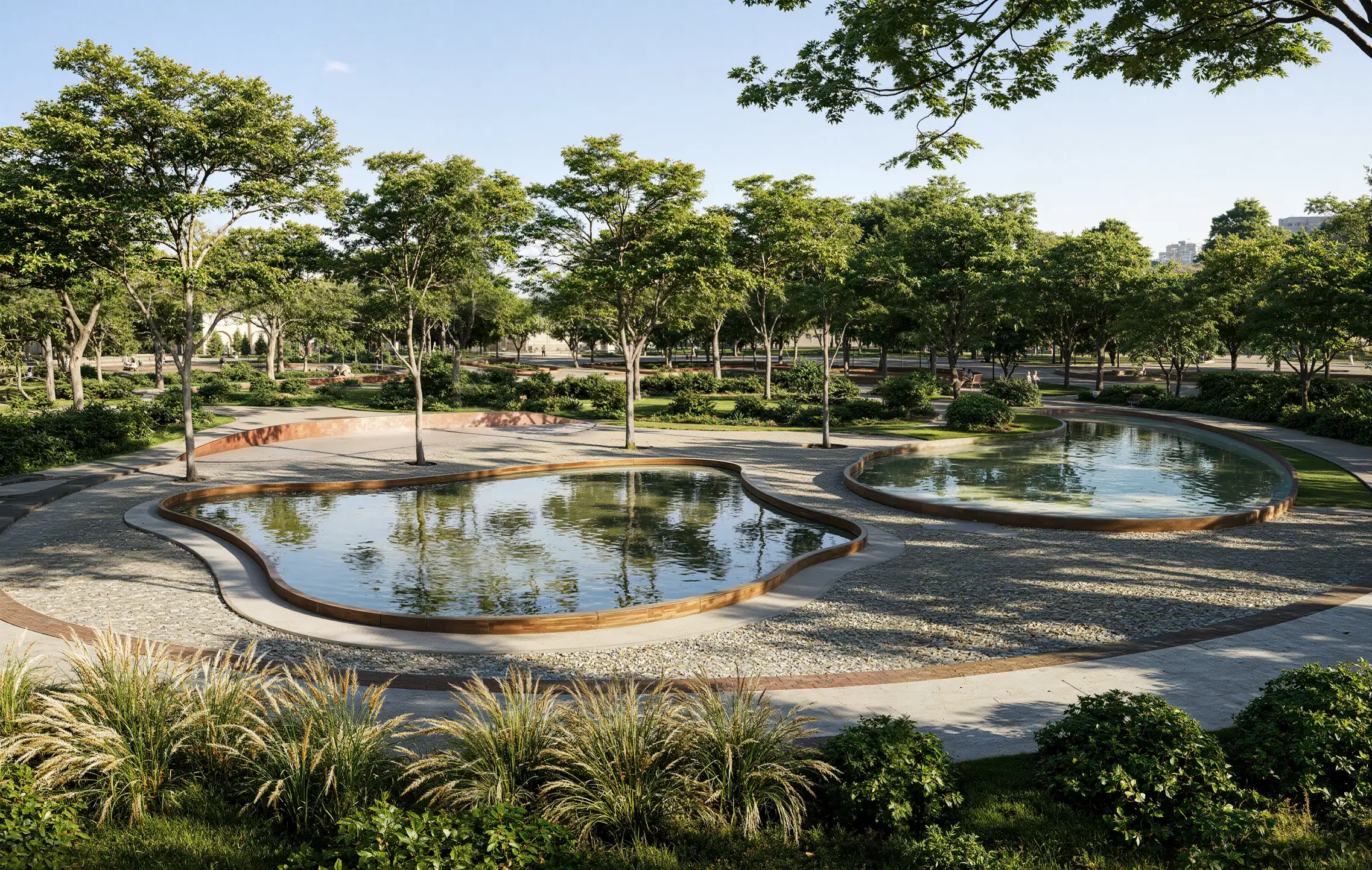
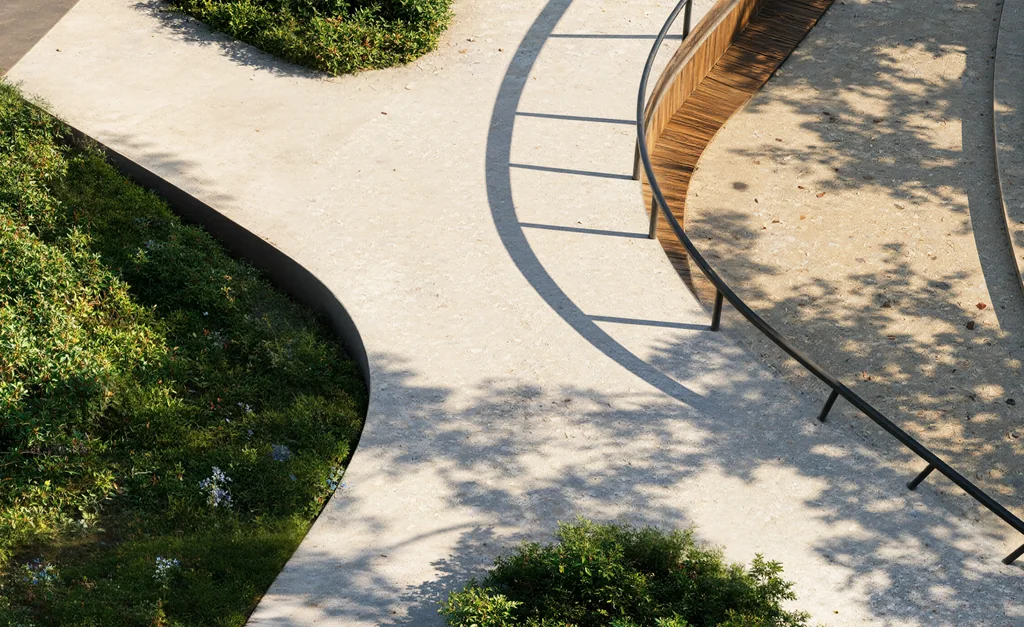
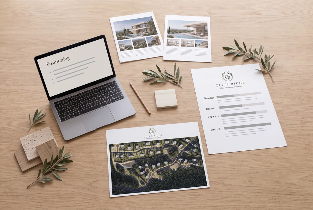
Pick your side of the district. Get the playbook written for it.
A city, a developer and an urban designer order the same district renders for different reasons, and each overpays in a different place. Choose yours: the views that move your decision, a realistic budget range and the brief mistakes we see most from your side.
- Free
- Instant download
- No sales call
If it didn't open, download it here.
Download the PDFCommon urban design rendering problems
Urban Design Rendering Challenges We Solve
-
01 Happened to us
AI images invent what the plan does not show
Fast AI concepts add towers, change street widths and drop buildings that are not in the plan, and planners spot it in seconds.
Our fixWe build the site in CGI from your master plan and zoning limits, and use AI only for light, people and atmosphere on top of that accurate base.
-
02 Happened to us
Residents cannot read a master plan
Color-coded land use plans mean little at a town hall, so the debate turns to fears the drawings already answer.
Our fixWe render the district from the places people know: their own street, the bus stop, the view from the park.
-
03 Happened to us
Forty images that look like five different projects
Renders from different freelancers and tools drift in light, season and style, and the project loses credibility.
Our fixOne 3D model, one lighting setup and one style guide for every aerial, street view and film in the set.
-
04 Happened to us
The site floats without its city
A district rendered on a blank background hides the streets, transit and neighbors it is meant to connect.
Our fixWe model the surrounding blocks from your survey, map data and drone photos, so the project sits in its real context.
-
05 Happened to us
Every round of comments breaks the image set
Heights, setbacks and street sections move after each hearing, and fixed images go out of date.
Our fixThe model is built to be updated: we change the design and re-render the same cameras instead of starting over.
-
Had any of these? Tick them.
12 questions before the town hall sees your district
Your PDF is ready.If it didn't open, download it here.
Download the PDF
Urban design visuals by project stage
A redevelopment needs different visuals as it moves from an idea to a finished district. Early views shape the vision and raise capital, later ones carry the project through zoning, the town hall and the launch, so we scope each set to the decision in front of you.
The 3D model of the district built for the first stage is reused for every next one, so each new set costs less than starting over.
Free: the urban design visuals roadmap
Which views and films to order from concept to launch, what the district model carries over, and what share of the budget each stage takes.
Where is your project now?
- Free
- Instant download
- No sales call
If it didn't open, download it here.
Download the PDFConcept
Shaping the vision: massing studies, a first aerial of the whole site and a mood set for the client, the design team and early partners.
Funding
Raising capital: master plan aerials, key street views and a short film for the investor deck, lenders and public-private partners.
Approval
Zoning and approvals: accurate massing, rendered site plans and views from nearby streets for planners, design review and the city council.
Community
Town halls and consultation: before-and-after views and a transformation film residents understand at a public meeting or online.
Launch
Leasing, press and phasing: hero views, social media cuts and phase-by-phase updates for tenants, the media and the neighborhood.
Pricing
Urban Design Rendering Pricing
Urban design rendering cost depends on the scope, number of views, level of detail, source files, the software required, and the intended use of the visuals. We stay flexible and offer options for every need — from a single one-off task to ongoing creative production support.
How many views?
What kind of view?
A guide from typical projects. The exact scope and price come with the quote.
Estimated work
~48h
Get the exact price
Tell us what you need. Within one business day we reply with a fixed price for your project.
Per Project
Pricing depends on project scope, complexity, number of views, level of detail, materials, revisions, and special requirements.
Best for: The easiest, no-risk way to test our workflow or handle a small task.
Hourly Most Popular
Pay only for the time actually spent on your task. A simple and flexible way to start without a long-term commitment.
Best for: One-time redevelopment projects, large visualization tasks, or clearly defined internal or client work that needs full production support.
Subscription
Monthly production capacity for ongoing rendering, design, web, branding, and marketing assets. Options for 40, 80, or 160 hours per month. Save up to 30% compared with hourly or one-off pricing.
Best for: Teams with ongoing creative production needs who want predictable capacity, faster turnaround, and better monthly rates.
Why Choose Us
A Reliable Team for Urban Design and Redevelopment Visualization
From one concept aerial for a funding round to a full set of aerials, street views and a transformation film for a public meeting, we keep the design accurate and the whole set consistent.
- 01
30+ in-house specialists
A larger team means fewer production risks. Your project keeps moving when the design changes after a hearing.
- 02
Parallel production teams
Aerials, street views and animation run side by side, so a full set is ready for the same council meeting.
- 03
Dedicated project manager
One person knows your plans, your zoning documents and your deadlines, so you never re-explain the project.
- 04
Immediate production start
We keep capacity on standby, so work starts as soon as the master plan is in.
- 05
True to the master plan
Heights, setbacks, street sections and planting follow your documents; the district is shown as zoned, not redesigned.
- 06
Stills, films and decks from one model
The site built for the first aerial is the one used for street views, phasing images, the film and the presentation visuals.
Check a start date for your project
Tell us the scope and the deadline. Within one business day we reply with a start date, the team we would put on it and a price range.
Scope
Deadline
- Reply within one business day
- No obligation
Remote studio, your time zone
Urban Design Rendering Support Worldwide
We help cities, developers, urban designers and architects in the US, the UK and Europe, the Gulf and Australia show districts, streets and public spaces before they are built.
Multilingual communication
Discuss your urban design rendering project in English, Spanish, German, French, or another language supported by our team.
Remote workflow worldwide
Send plans, models and site photos from anywhere; reviews, feedback and delivery all happen online and under NDA.
Flexible schedule
Our team is structured to support different time zones, so funding, zoning and town hall dates stay on track.
Book a 30-minute call
Which day suits you?
What time?
Where should we send the invite?
- 30 minutes
- Free, no obligation
- Invite by email
30-second urban design quiz
Not sure which urban design renders you need? Find your fit
Answer four quick questions about your project and we’ll match you with the right urban design rendering approach, plus a free, tailored next step.
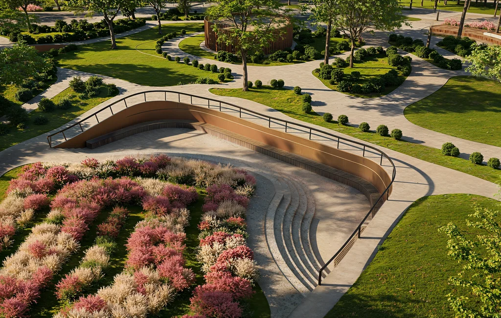
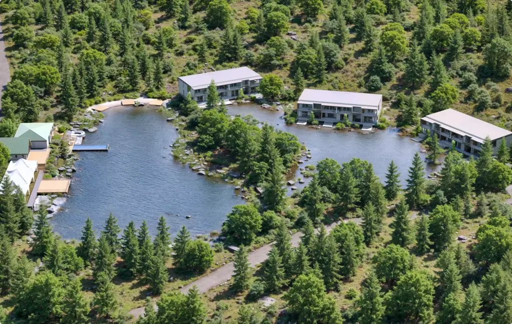
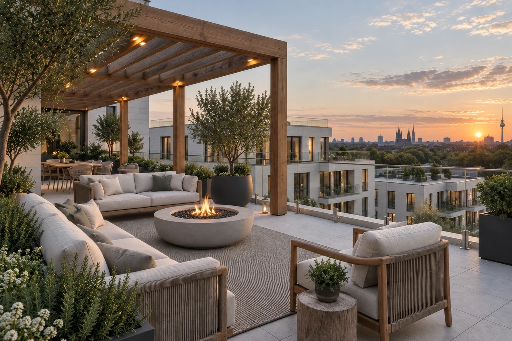
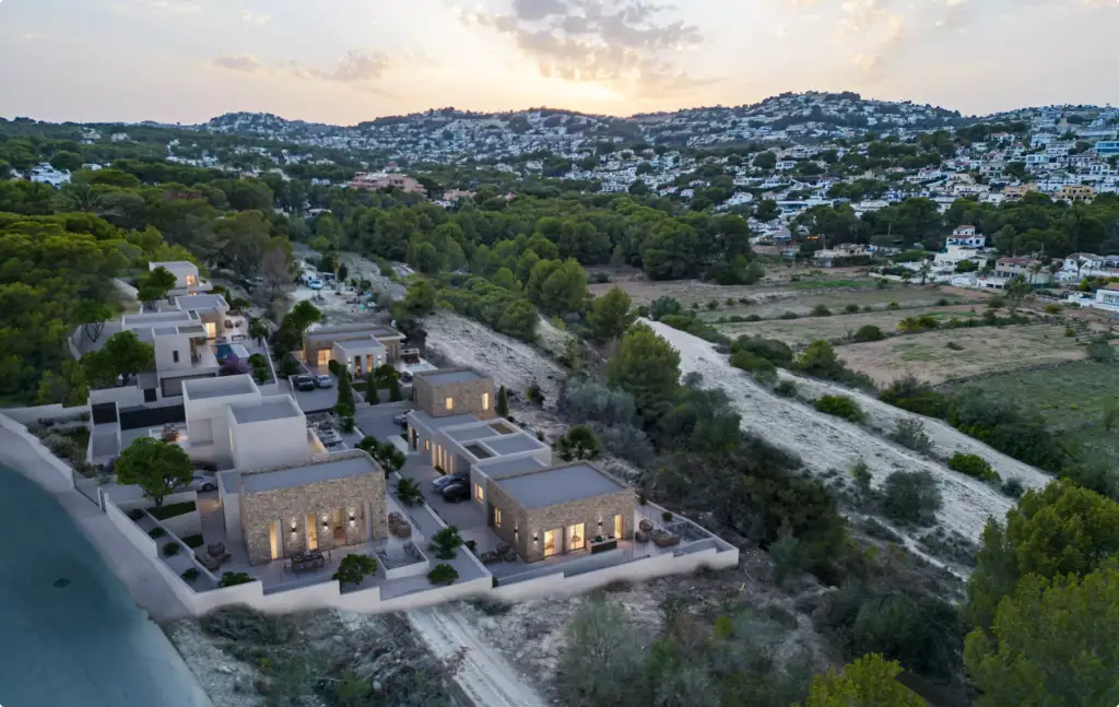
Pick the look you love
What are you planning?
Who needs to say yes?
Where’s your project now?
Almost there — where do we send it?
Your tailored plan and a free next step for your project.
No spam — we only email about your project.
Photoreal urban design rendering, built to win the vote
We’ll email your tailored urban design rendering plan shortly.
FAQ
Questions about urban design and master plan rendering
Didn’t find your question?
Ask it here. A producer replies within one business day — with an answer, not a sales call.
What is urban design rendering?
Urban design rendering is photorealistic 3D imagery of a district, street or redevelopment site as it will look once built, made from the master plan, zoning documents and a 3D model. Cities, developers and urban designers use it to explain a project to residents, investors and officials before construction starts.
What do you need to start an urban design rendering project?
The master plan or site plan, building massing or architectural models, street sections, a landscape plan if there is one, and the zoning limits on heights and setbacks. Drone photos or a survey of the site help us place it in its real context. If the design is still early, massing and a few references are enough to start.
Which visuals do residents, investors and city officials need?
Each audience needs a different proof from the same model:
- Residents: eye-level views from their own streets and a before-and-after of the site.
- Investors and lenders: aerials of the whole district, the phasing and the main amenities.
- City officials and the council: accurate massing, rendered site plans and views from nearby streets.
- Media: one hero aerial, two or three street views and a short film.
Can you use AI for urban design visuals without inventing things?
Yes. We build the site, buildings, streets and planting in CGI from your plans first, then use AI only for light, people, weather and atmosphere. Every image is checked against the master plan, so heights, street widths and open spaces stay as designed. AI speeds up concepts and variations; it never decides what gets built.
How do you keep 20 to 40 images of one project consistent?
Every image comes from one 3D model of the district with one lighting setup, one season and one style guide agreed at the start. Aerials, street views, phasing images and the film reuse the same cameras and materials, so the whole set reads as one project.
Can you show the site before and after, phase by phase?
Yes. We set up the same cameras on today’s site, from drone photos or a survey, and render each phase into them. A sequence from the vacant lot to the finished district is the clearest way to explain a long redevelopment at a public meeting.
Do you make flythroughs and redevelopment films?
Yes. From the same 3D model we produce drone-style flythroughs, street-level walkthroughs and transformation films, from a 3–5 minute version for town halls and investor events to 15–30 second cuts for social media. See our architectural animation service for formats.
Can you design the visual identity of a redevelopment project?
Yes, for developers and redevelopment agencies we also create the project name, logo, color system and the presentation and social templates, so the renders, the deck and the website look like one initiative. See our brand identity design service.
How long does an urban design rendering set take?
It depends on how far the design is. A concept set from massing is the fastest part; a full set of aerials, street views and a film takes longer because every view is checked against the plan. We agree the schedule against your funding, zoning or town hall dates at the start.
Can the renders be updated after a public hearing?
Yes. The 3D model is built to be updated: when heights, street sections or open spaces change after comments from the city or residents, we edit the design and re-render the same cameras, so the new images compare directly with the old ones.
What is the difference between urban design rendering and park rendering?
Urban design rendering shows a whole district or redevelopment site: buildings, streets, mobility, public spaces and phasing. Park rendering focuses on one green space and its landscape detail. For a single park, plaza or streetscape, see park rendering.
Free Test Render
Start With a Free Urban Design Test Render
We prove our quality on your own project before you commit: send a master plan or site plan with massing, and we render one view of it.
We reply by email within one business day with the conditions and next steps. By submitting, you agree to our Privacy Policy.