Lio Coastal Resort Renderings: From Masterplan to Public Spaces
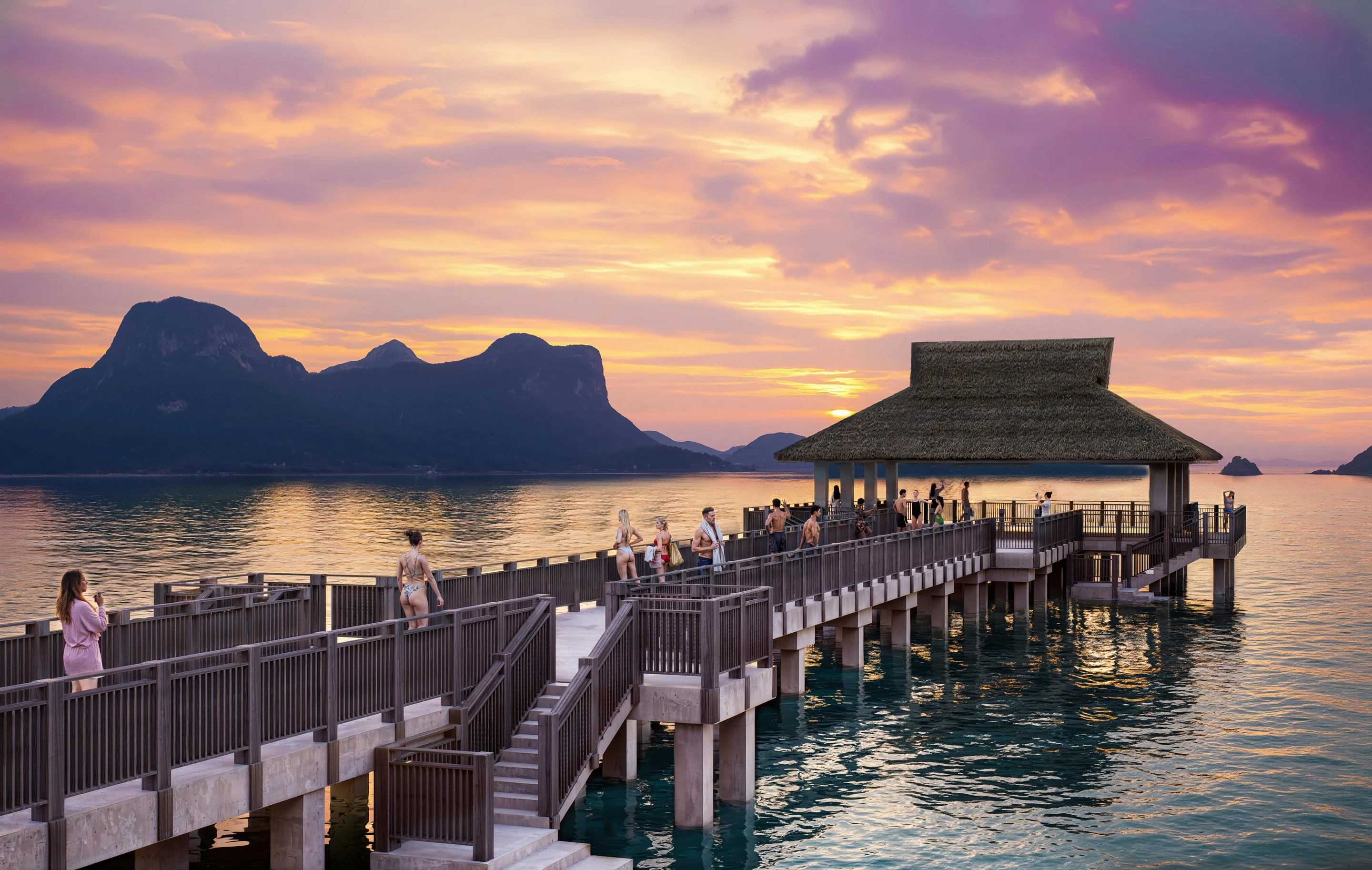
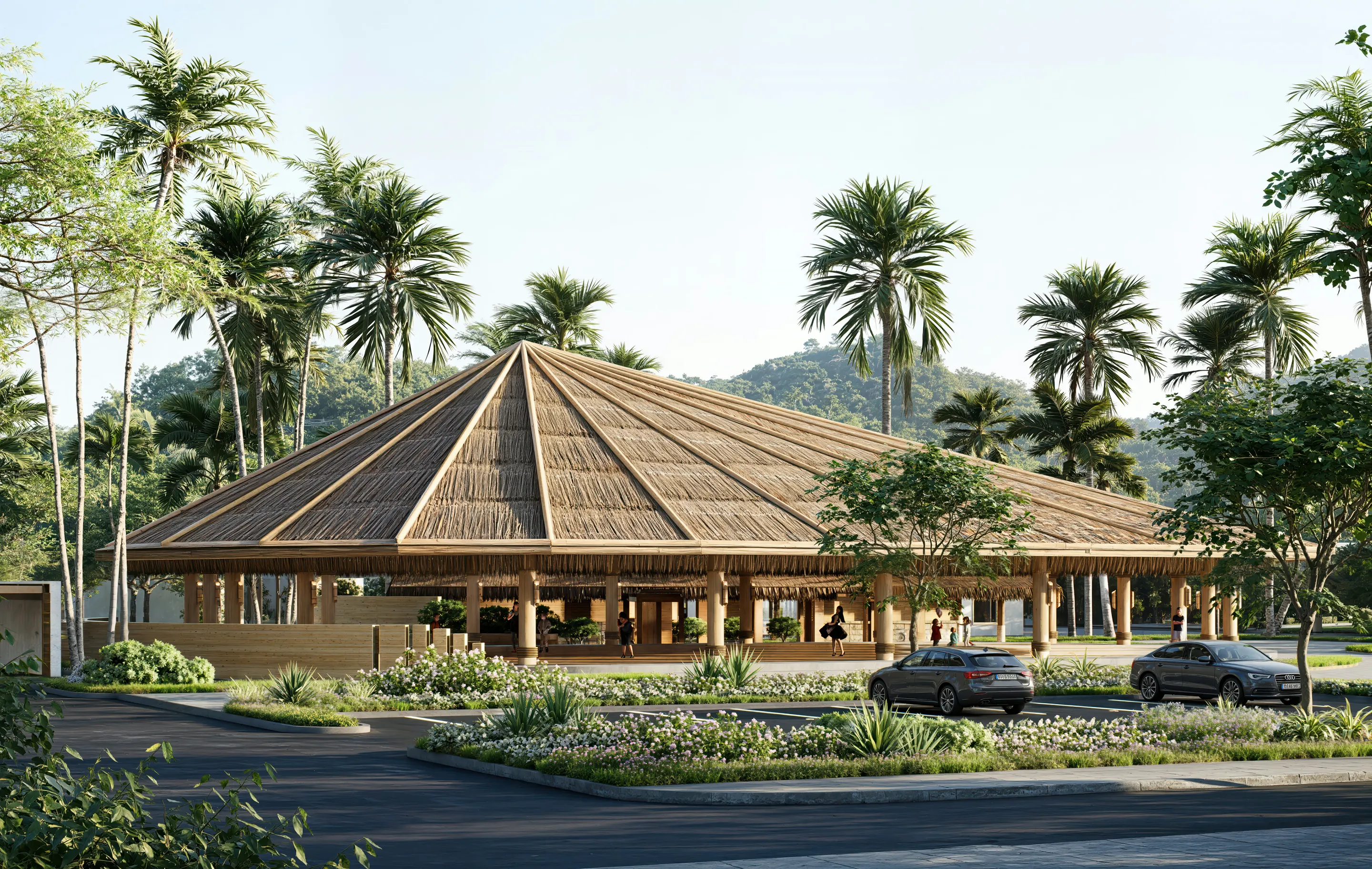
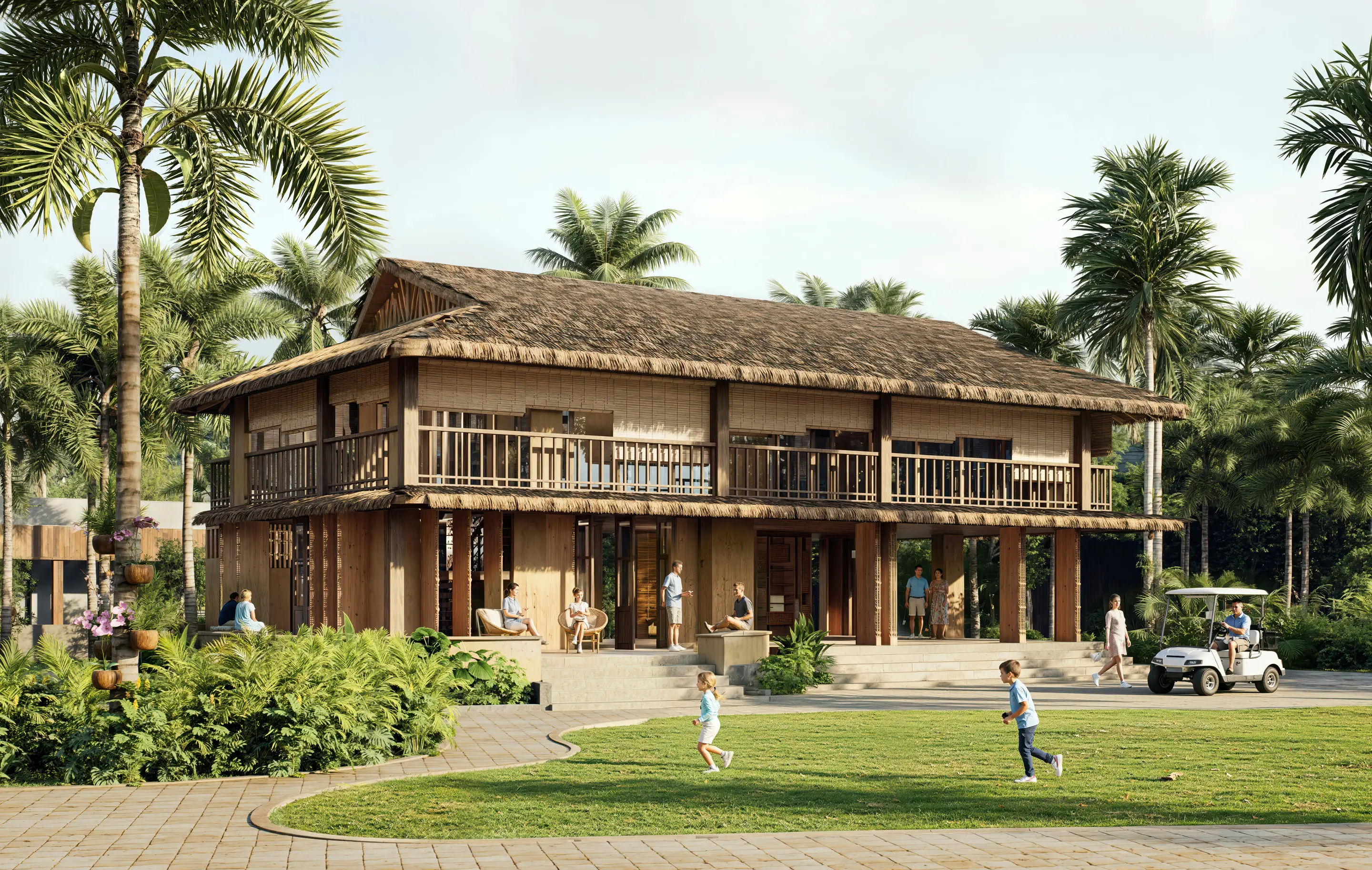
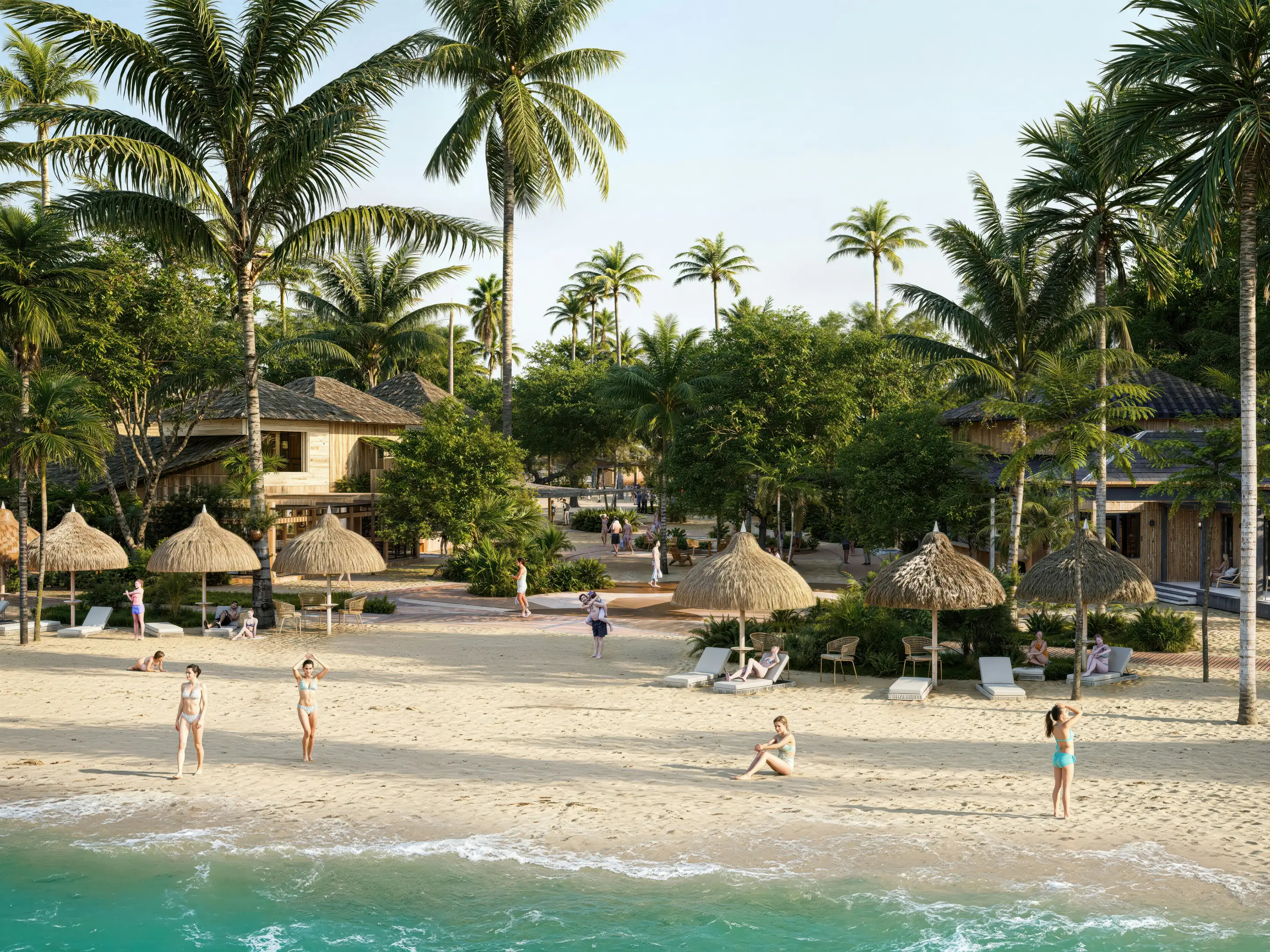
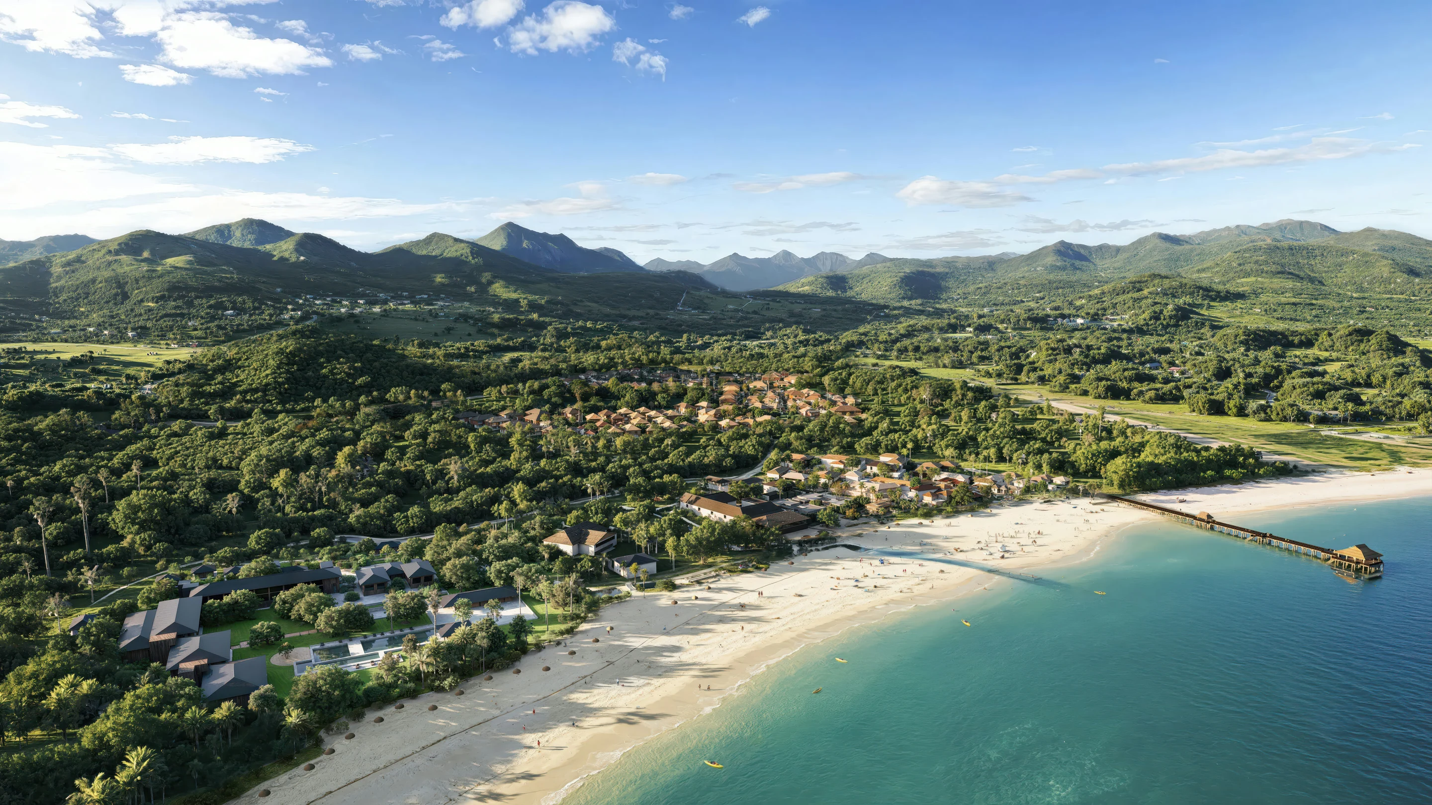
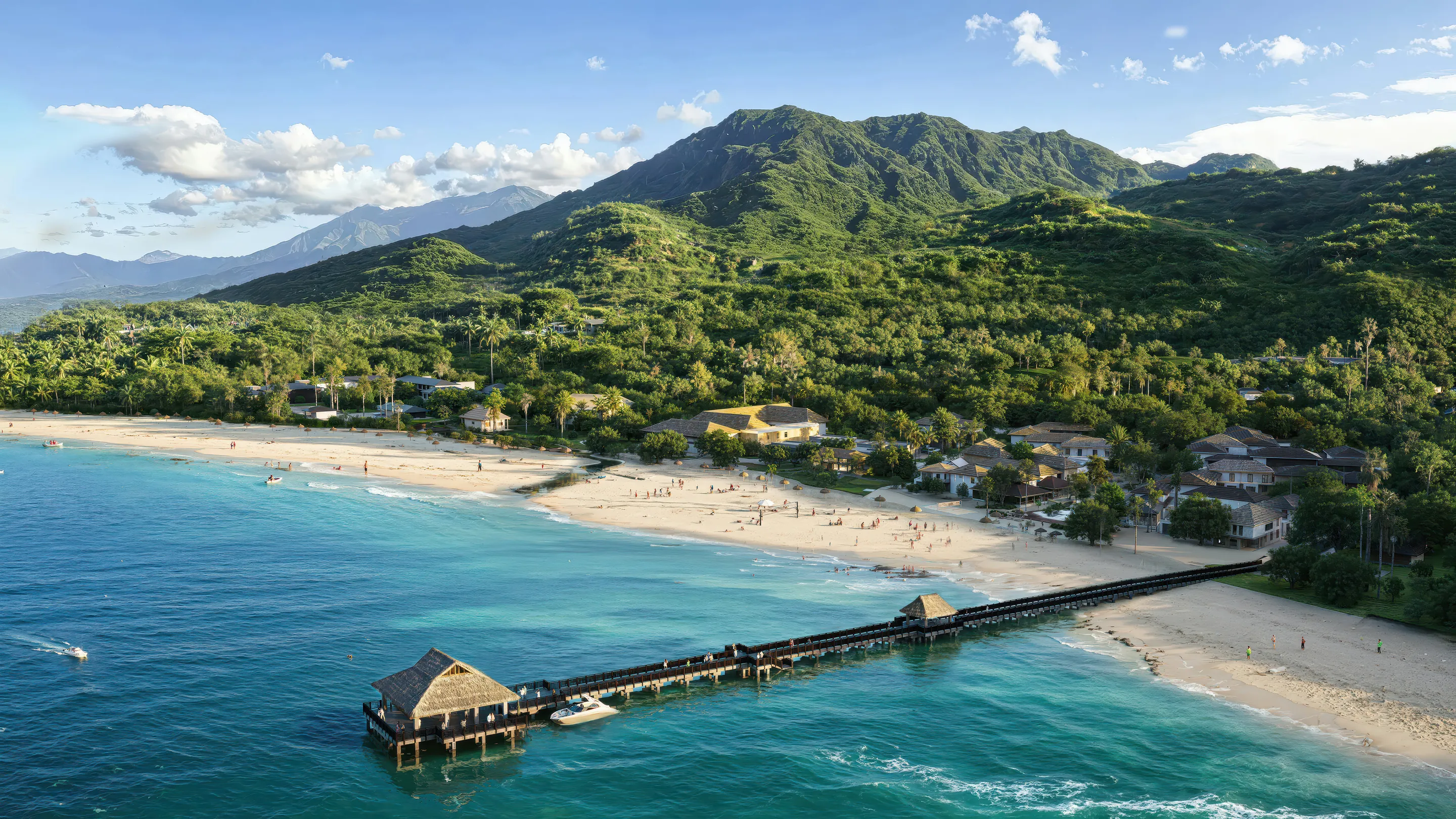
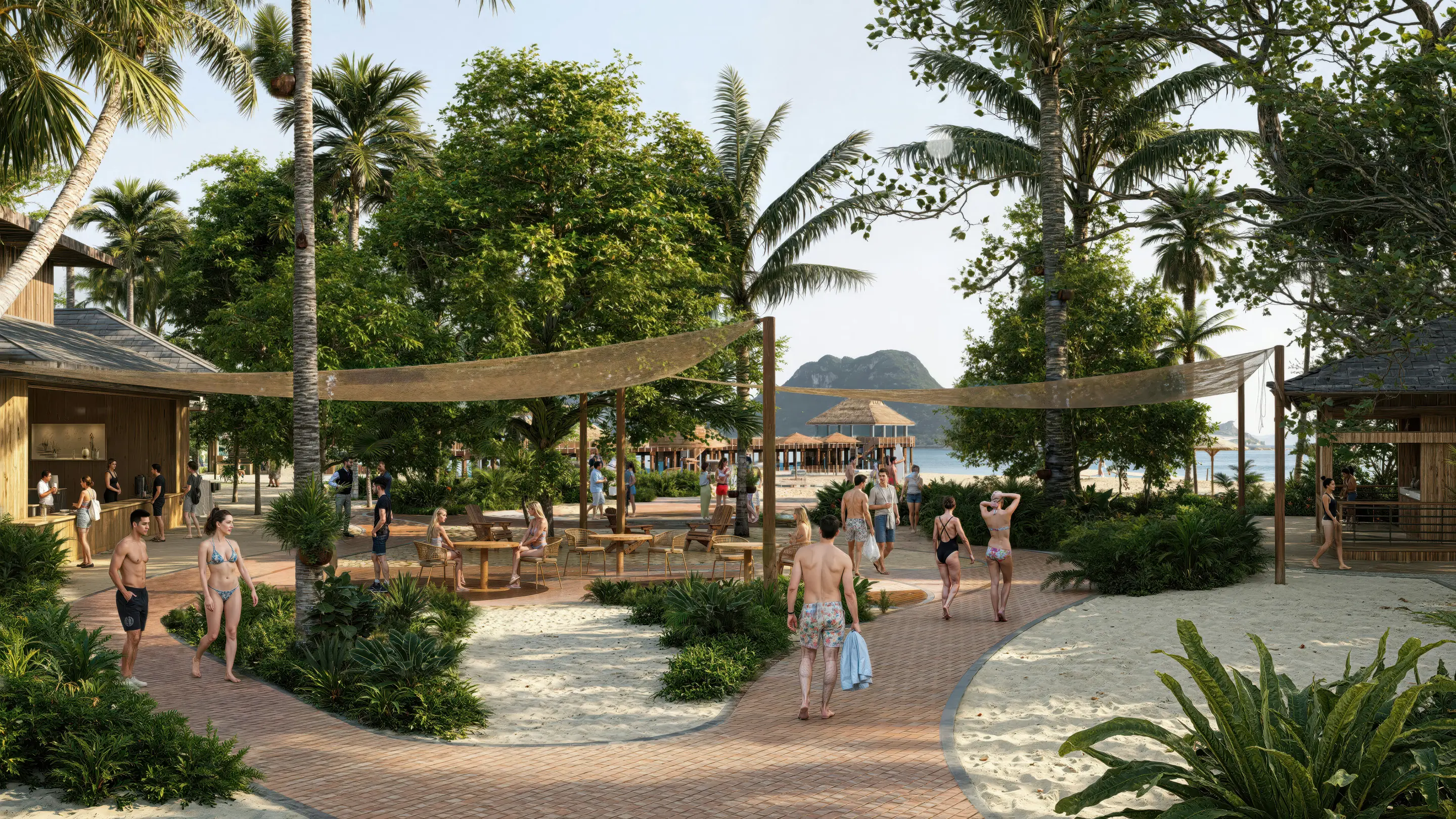
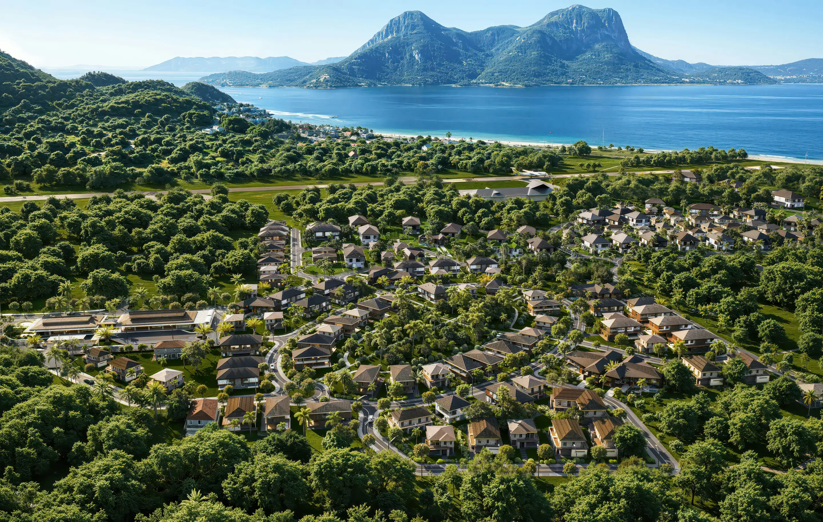
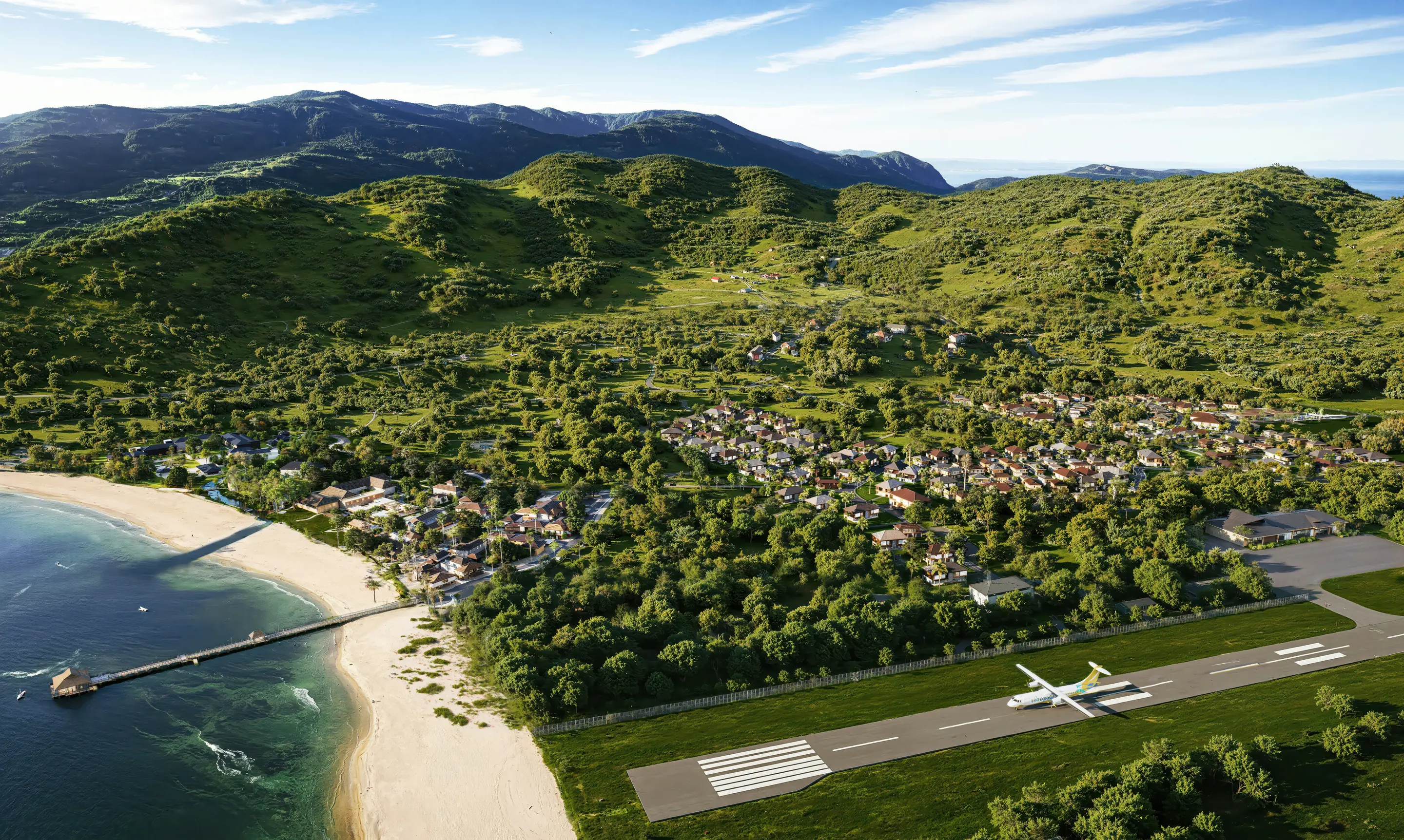
A coastal destination in the Philippines, shown from the scale of the masterplan to the experience of arriving, walking along the beach and reaching the jetty. We developed the visualisation from the client’s models, drawings and planning references.
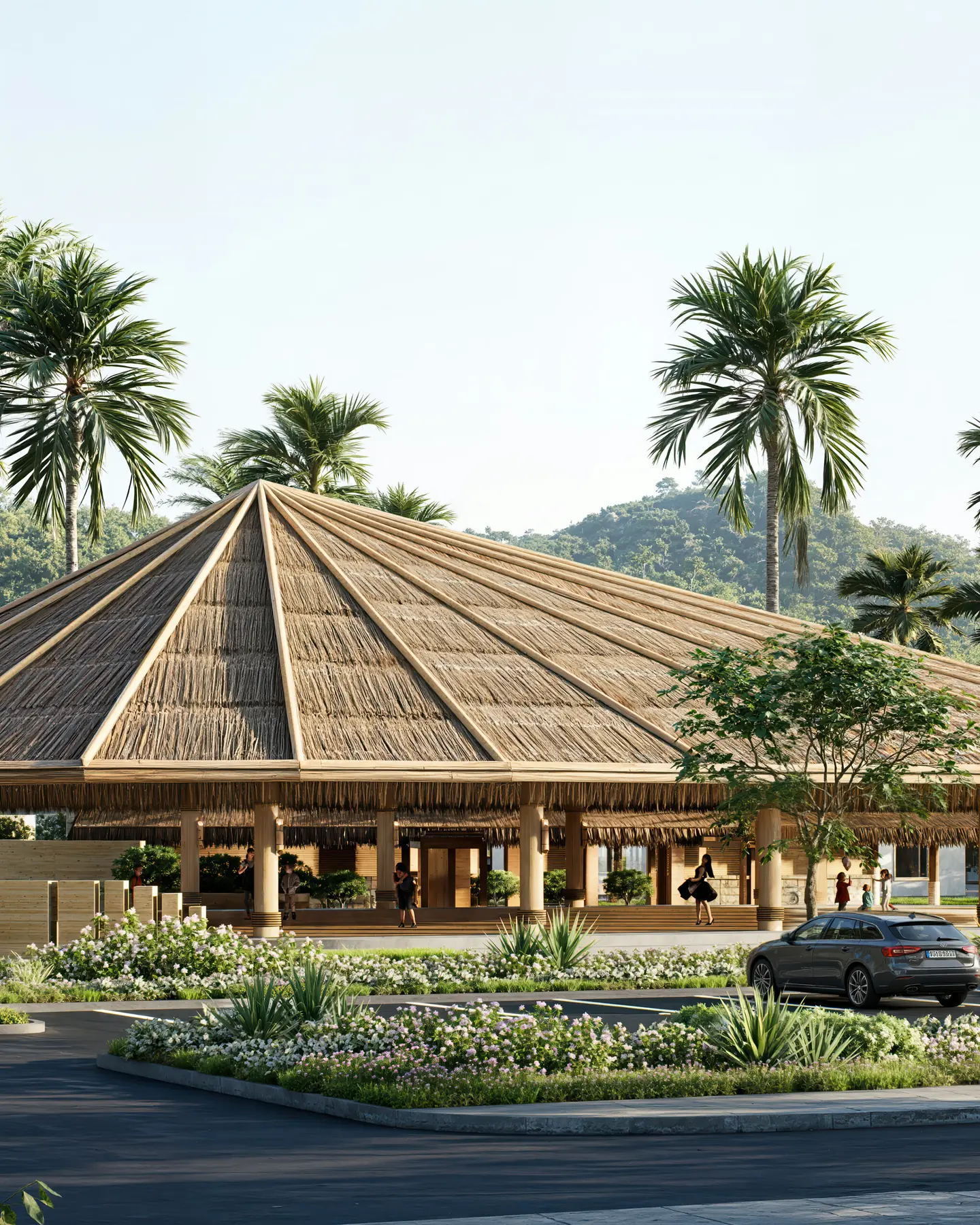
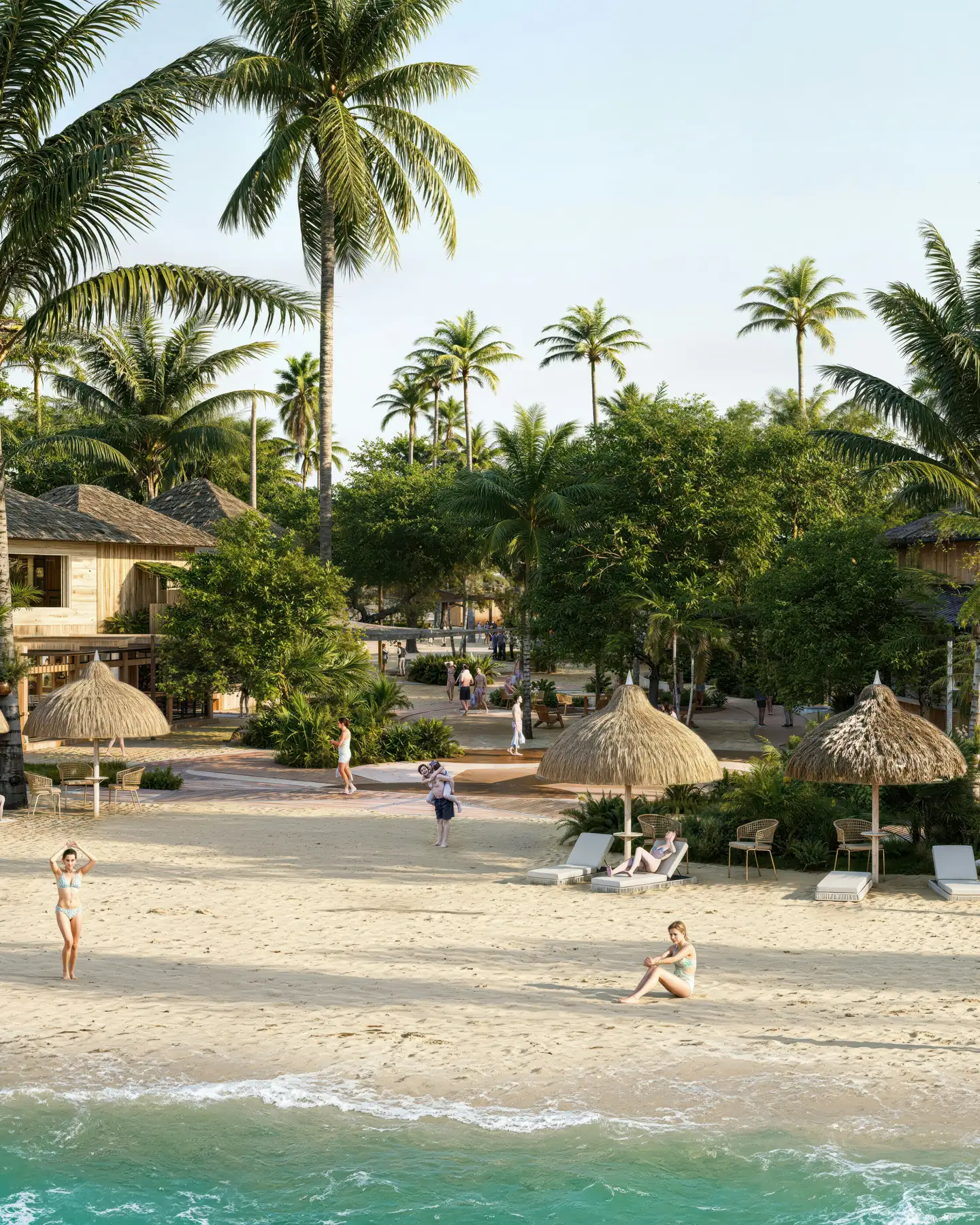
Making the Lio Coastal Plan Read as a Place to Visit
A resort development in the Philippines needed marketing images that explained both the wider territory and its public spaces. The brief combined aerial views of Cove 1 and Cove 2, semi-aerial views of Phase 5 and street-level views of arrival, shopping, visitor and waterfront spaces.
The client supplied architectural models, drawings and planning references. We converted and refined the geometry, adjusted scale and roads, developed cameras and built out the coastal environment.
Keeping Lio’s Buildings Legible Within a Tropical Landscape
Buildings and roof forms had to remain readable among palms and dense greenery. Aerial views needed to connect the beach, roads, jetty, airport and neighbourhoods; ground-level views needed to convey a relaxed seaside setting. We reviewed the island silhouette, planting scale, building placement and architectural details against the client’s materials.
The Lio Coastal Resort Image Set
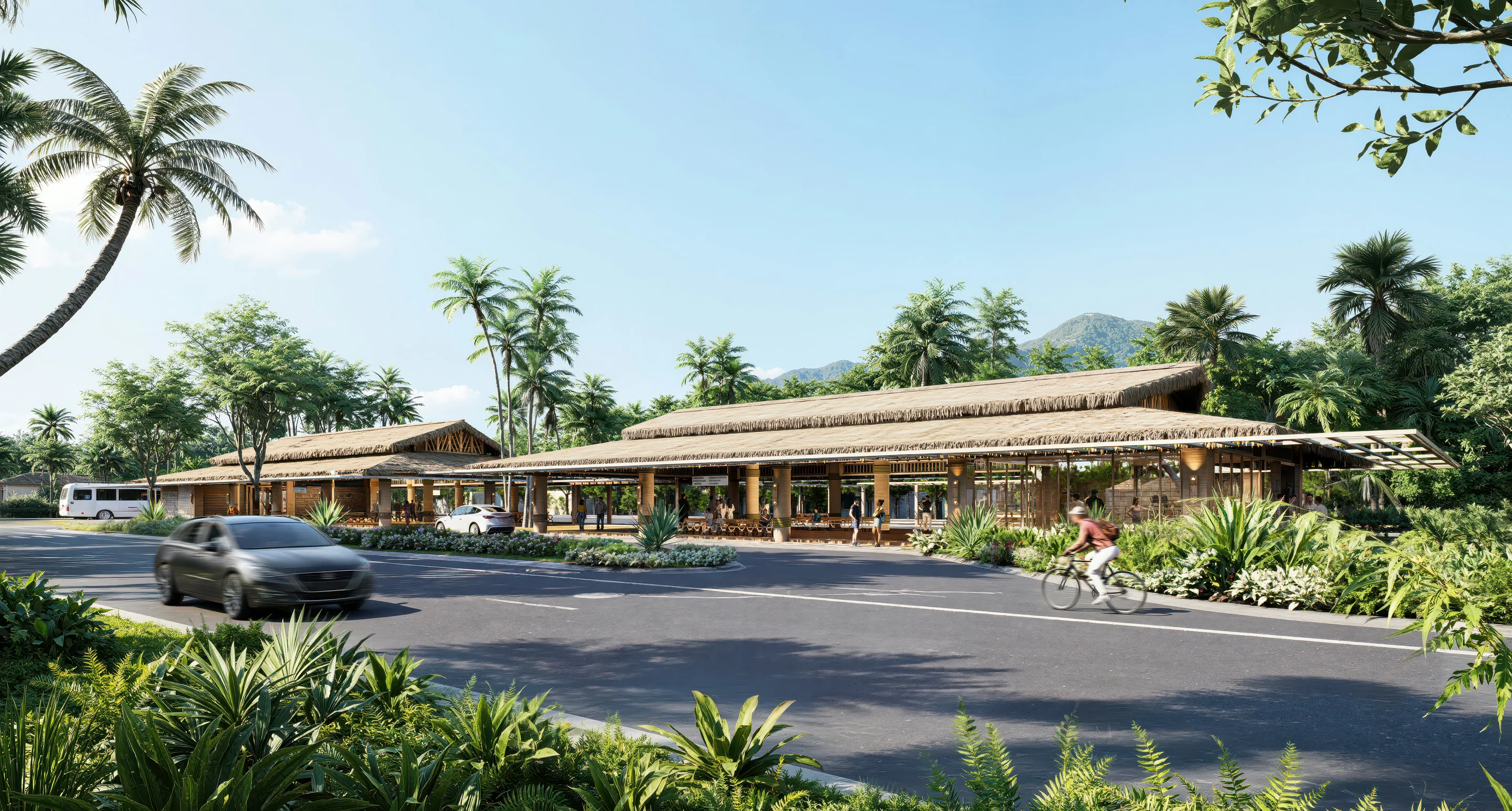
The consolidated set moves between the scale of the development and the spaces visitors experience on foot. The images below retain their full compositions.
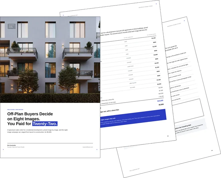
Free guide: off-plan buyers decide on 8 images, developers pay for 22
The frames above are the kind an off-plan buyer decides from, and there are fewer of them than most orders assume. In our priced composite, a developer paid $22,600 for the original image set, a film and panoramas, plus two missing campaign images ordered later. The guide gives you the eight-image real estate rendering set, staged from launch to construction, and the one-page brief to send instead.
- Free
- Instant download
- No sales call
If it didn't open, download it here.
Download the PDFRemote studio, your time zone
Planning a similar project?
Book a 30-minute call. Tell us about the project, and we will tell you which views it needs, how long it takes and what it costs.
Estimate on the call
A price range on the call, not a follow-up questionnaire.
Any stage of the project
From concept sketches to a finished model: we start from what you have.
Book a 30-minute call
Which day suits you?
What time?
Where should we send the invite?
- 30 minutes
- Free, no obligation
- Invite by email
- 10views
Images in the consolidated March handover package, spanning arrival spaces, the waterfront and the wider development.
- 3scales
Bird’s-eye, semi-aerial and street-level compositions connecting the overall plan with the visitor experience.
A coastal masterplan becomes easier to understand when the same image set connects the whole territory with the places visitors will use: arrival spaces, a shaded walk, the beach and the jetty.
FAQ
Questions About the Lio Resort Rendering Project
Didn’t find your question?
Ask it here. A producer replies within one business day — with an answer, not a sales call.
What did the Lio resort rendering brief include?
Did you create the Lio architecture and models from scratch?
How did you keep buildings visible among tropical planting?
Which tools were used for the Lio visualisation?
How did the aerial and street-level views serve different purposes?
What were the Lio images intended to support?
More projects: Aerial Rendering
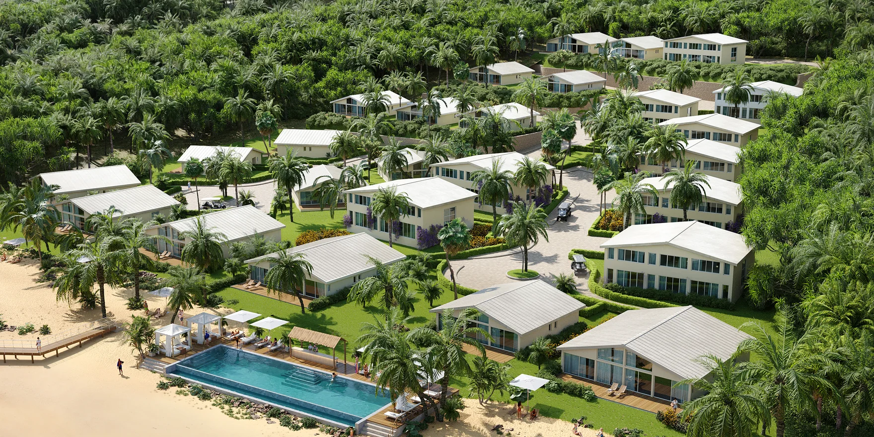
Caribbean Villa Resort Renderings for an Off-Plan Launch
For another coastal development, our Caribbean villa resort renderings show how aerial and ground-level views connect a wider plan with individual villas.

Skyscraper Rendering That Helped Secure Approval and Investor Backing
A strategic skyscraper rendering case study showing how concept visuals helped a developer secure city approval, attract investors, and move the tower into the design phase.
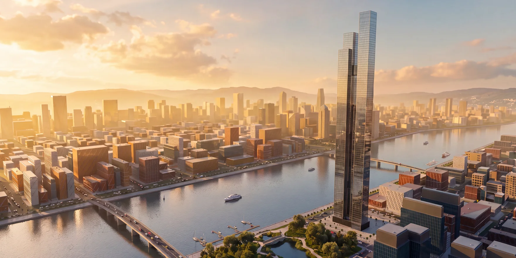
Mixed-Use Tower Renderings for a 550-Meter Supertall in New York
Case study: renders of a 550-meter mixed-use supertall in New York for an investor pitch, from river and aerial views to the lobby, offices, restaurant, spa and gym.