
Site Plan and Aerial Rendering Services
Trusted by Leading Teams: Site Plan and Aerial Rendering Services
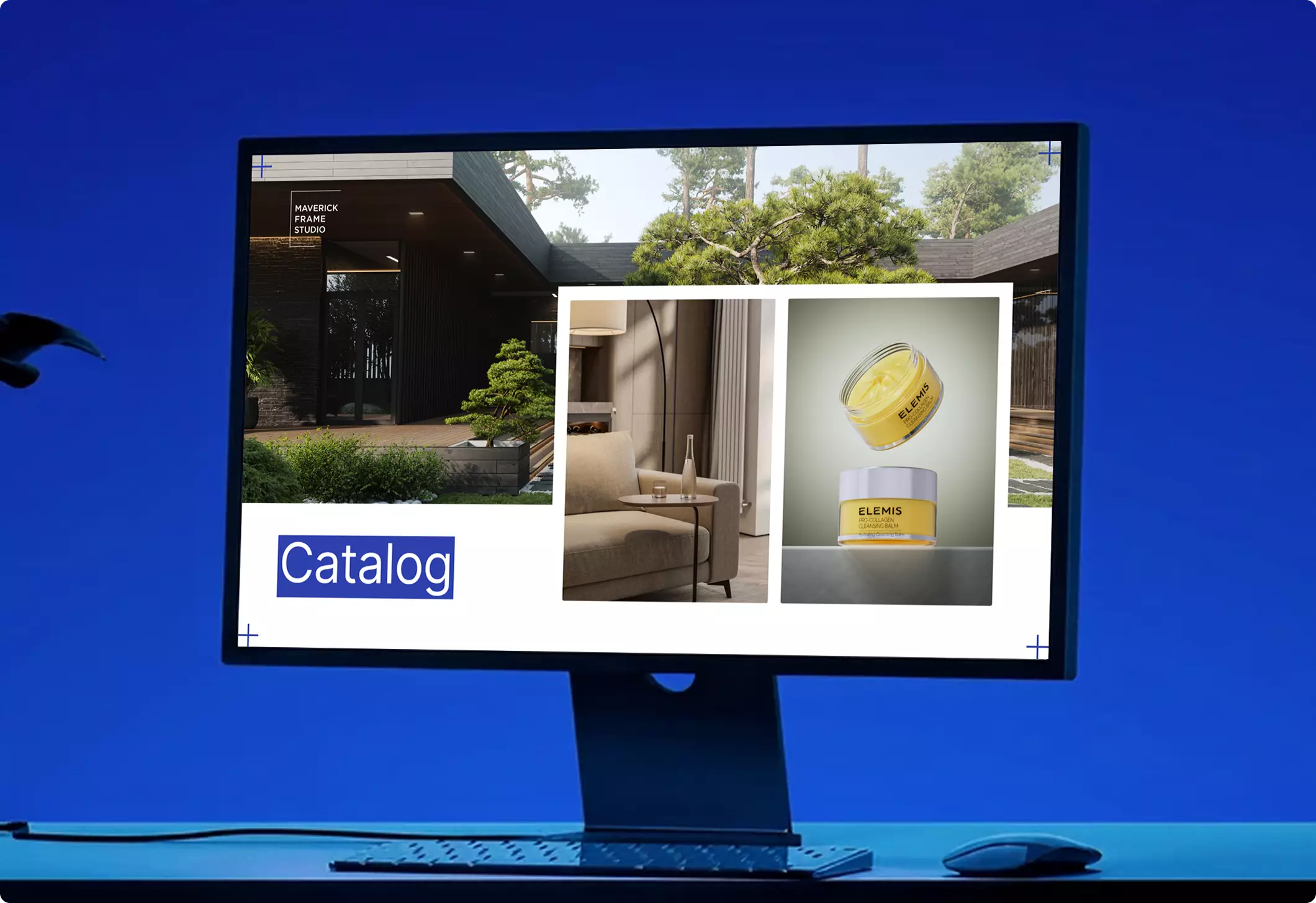
More Than Bird’s-eye Views — A Full Site Visualization Pipeline
We don’t just produce aerial renderings. We build complete site visualizations — combining master plans, site plans, CAD files, maps, sketches, client-provided drone photos, and references with accurate 3D terrain, architecture, roads, landscaping, amenities, and surrounding context.
Our team includes architects, master planners, and interior designers, allowing us to not only visualize a project, but also refine site layouts, improve presentation logic, and prepare clear aerial CGI for approvals, investor decks, sales campaigns, planning reviews, and marketing use.


Trusted by 500+ clients
-
3D
Terrain, buildings, roads, landscaping, amenities, and surrounding context modeled together
-
8K
High-resolution aerial renders for presentations, approvals, and marketing
-
1
One team of architects, master planners, designers, and 3D artists working in one workflow
Common Aerial Rendering Problems
Aerial Rendering Challenges We Solve
Why Choose Us
A Reliable Team for Complex Aerial Rendering Projects
From a single single bird’s-eye view to a full full master-plan set, we provide the team, process, and visual judgment to present your aerial project at its best.
30+ in-house specialists
A larger team means fewer production risks. Your aerial project keeps moving even when schedules shift, revisions appear, or extra assets are needed.
Parallel production teams
For multi-part projects, mixed scopes, or campaign work, we put the right specialists on it at the same time and cut the waiting between stages.
Dedicated project manager
You won’t re-explain your workflow each time. A dedicated manager stays with you across projects, remembers your preferences, and keeps communication, files, feedback, and deadlines organized.
Immediate production start
We keep production capacity on standby, so your aerial project can start when you need it — not weeks later when a team finally becomes free.
Experience across project scales
From small one-off tasks to large-scale aerial programs, we assign the manager and team that fit your scope, complexity, and level of detail.
A trained, commercial eye
After dedicated training with real estate photographer Christopher Lee, our team knows how to choose angles and compositions that make your aerial work look clear, valuable, and ready to use.
Ready to start without hiring, delays, or extra management?
Bring us one task or the full production scope — we’ll assign the right team, manager, and workflow.
- Start the same day
- Production team on standby
- Project manager included
- No freelancer risk
The bigger picture
Projects that helped clients show scale and context


Site Plan and Aerial Rendering Support Worldwide
We support site plan and aerial visualization projects worldwide, with a fully remote workflow that removes location barriers and keeps large-scale presentations moving efficiently. Whether you need site plan rendering, aerial rendering, master plan visuals, bird’s-eye views, or large-scale development presentations, our process is structured around your files, feedback, and deadline.
- Multilingual communication. Discuss your site plan and aerial rendering project in English, Spanish, German, French, or another language supported by our team.
- Remote workflow worldwide. We are not limited to one city, region, or development market. Share site plans, CAD files, master plans, landscape layouts, zoning references, maps, markups, and feedback online — no in-person meetings required.
- Flexible schedule and 24/7 production mindset. Our team is structured to support different time zones, urgent investor presentations, planning submissions, real estate launches, design approvals, and tight aerial rendering deadlines.

Production Process
Aerial Rendering Production Process
Pricing
Aerial Rendering Pricing
Aerial Rendering cost depends on the scope, number of views, level of detail, source files, the software required, and the intended use of the visuals. We stay flexible and offer options for every need — from a single one-off task to ongoing creative production support.
Pet Project
Custom Quote
Pricing depends on project scope, complexity, number of views, level of detail, materials, revisions, and special requirements.
Best for
The easiest, no-risk way to test our workflow or handle a small task.
Hourly
From $39 / hour
Pay only for the time actually spent on your task. A simple and flexible way to start without a long-term commitment.
Best for
One-time aerial projects, large visualization tasks, or clearly defined internal or client work that needs full production support.
Subscription
From $30 / hour
Monthly production capacity for ongoing rendering, design, web, branding, and marketing assets. Options for 40, 80, or 160 hours per month. Save up to 30% compared with hourly or one-off pricing.
Best for
Teams with ongoing creative production needs who want predictable capacity, faster turnaround, and better monthly rates.
Not sure which option fits your project?
Contact us and we’ll help you choose the right pricing model, estimate the workload, and offer the best terms for your project.
FAQ
Let's schedule a quick online call to discuss your specific requirements, timeline, and any questions you may have
We can discuss:
- Personalized recommendations based on your goals
- Actionable marketing insights tailored to your business
- Clear scope of work and realistic timeline
- Transparent project budget and options
Book a call with us
Thank you – your message has been sent.
Our team will review your request and get back to you shortly.
Book your free intro call
Pick a time that suits you. It's a quick, no-pressure chat about your project — we'll confirm by email.
- A clear plan and next steps
- Realistic timeline and budget range
- Honest advice, even if we're not the fit
Free · 30 minutes · No commitment
Thank you — you're all set
Your call is saved and a calendar invite is on its way to your inbox. We'll send a meeting link before the call.
Talk soon — Maverick Frame Studio
Pick a time that works
Your details
You're booked!
A calendar invite is on its way to your inbox.
Download our portfolio showcase
Here we’ve gathered our top projects that we really proud of. Fill out the form and download the file – evaluate the render quality.